The Sisters Lasso
August 17–20, 2018
4 days | 52.6 miles | 8,686 vertical feet
Stared up at them for two years. Saw them from various peaks and vantage points on all sides but the southwest. Now it was time to circumnavigate the Three Sisters. Counterclockwise over four days, starting and ending at the Green Lakes trailhead. Not a lollipop loop in my book because the duplicated stem was pretty short compared to the rest of the route. Let’s call it a lasso.
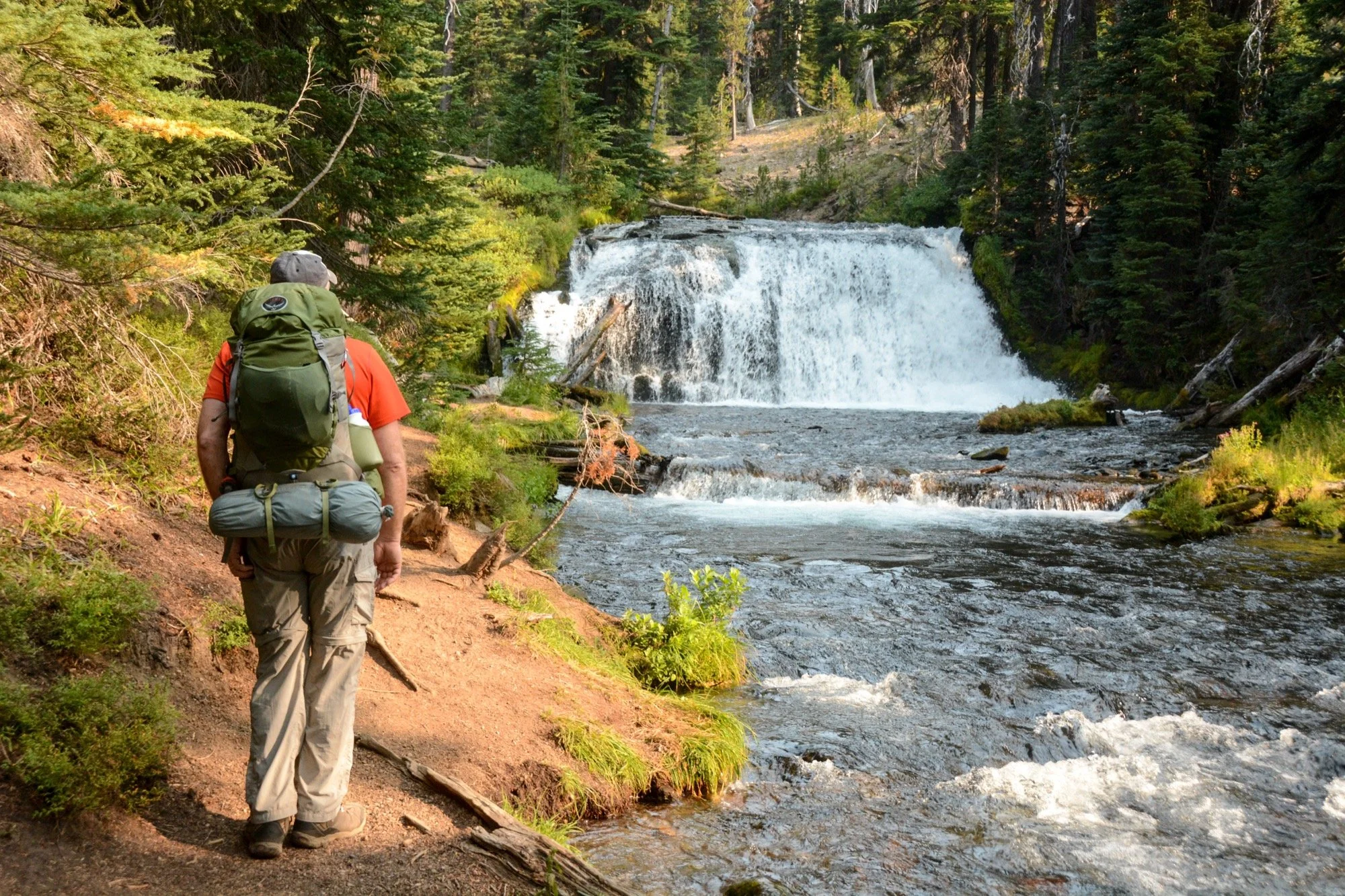
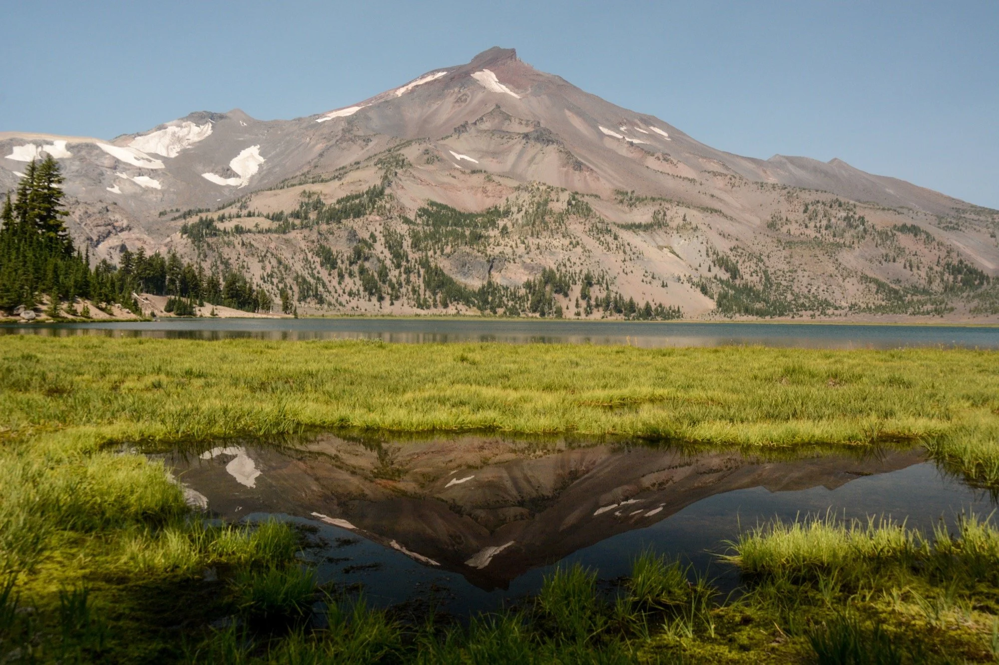
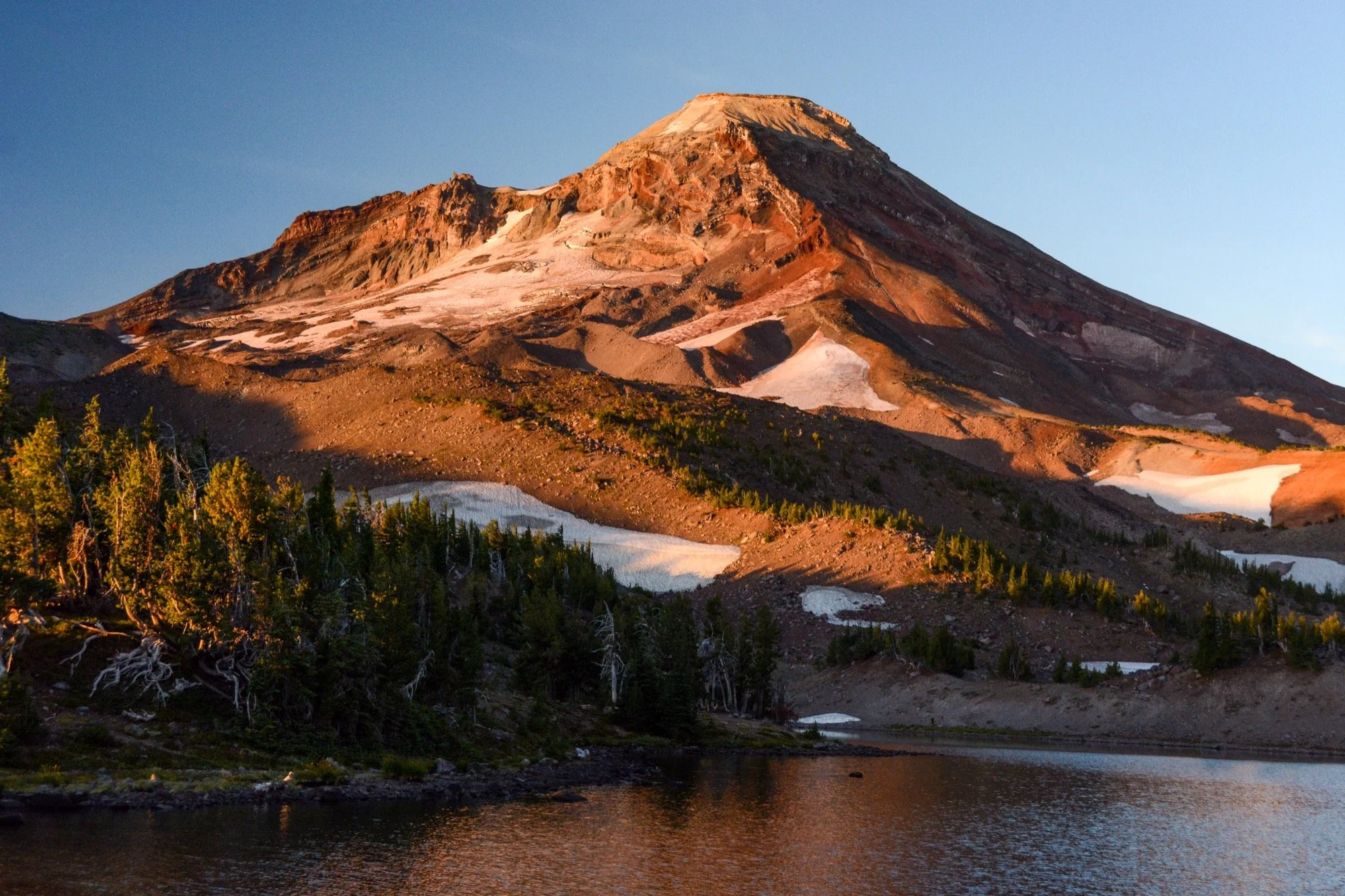
Clear skies on our way up Fall Creek, winding through the hemlocks and admiring the waterfalls that string out along the trail. Dad and I made it up to the Green Lakes for an early lunch in the shade. It’s such a different view of South Sister from down there, with no angle to the summit. Looks like a different mountain altogether.
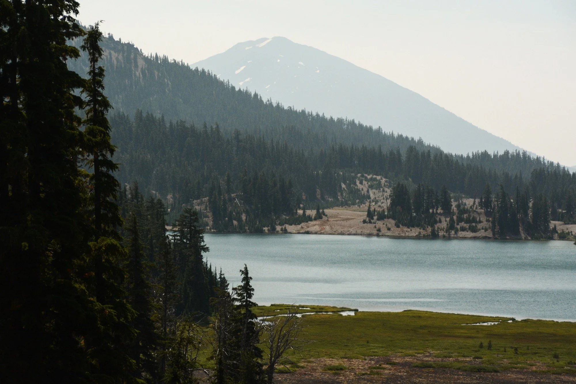
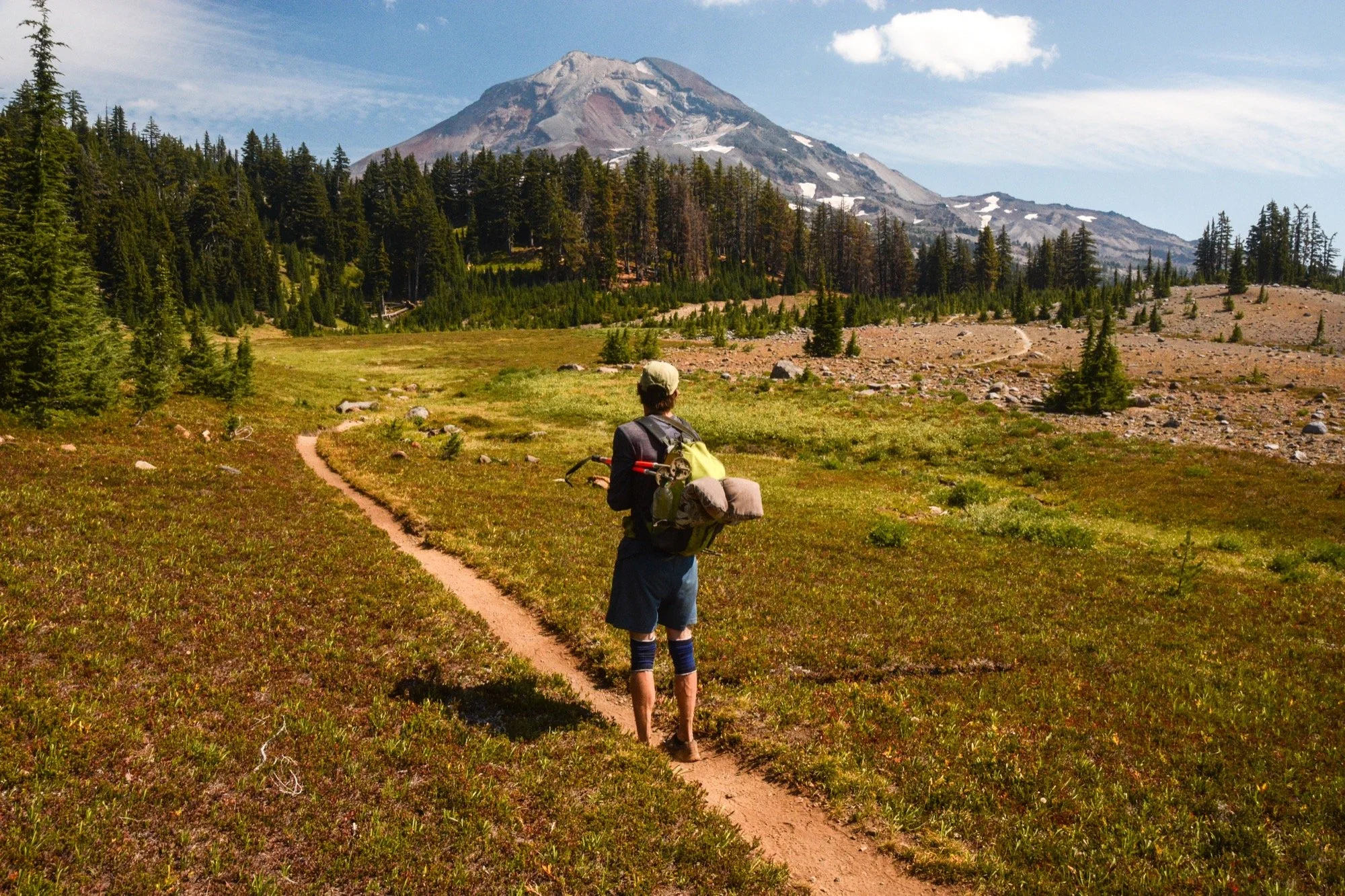
At the low pass above the lakes, we left the trail for the rest of the day. Our route angled cross-country to the northwest, traversing the terrain beneath the Prouty Glacier. We crossed the streams that drain the ice, listening to hidden cobblestones rolling in the current as the water tries to tear the mountain down. The views of Broken Top were grand, and we had it all to ourselves.
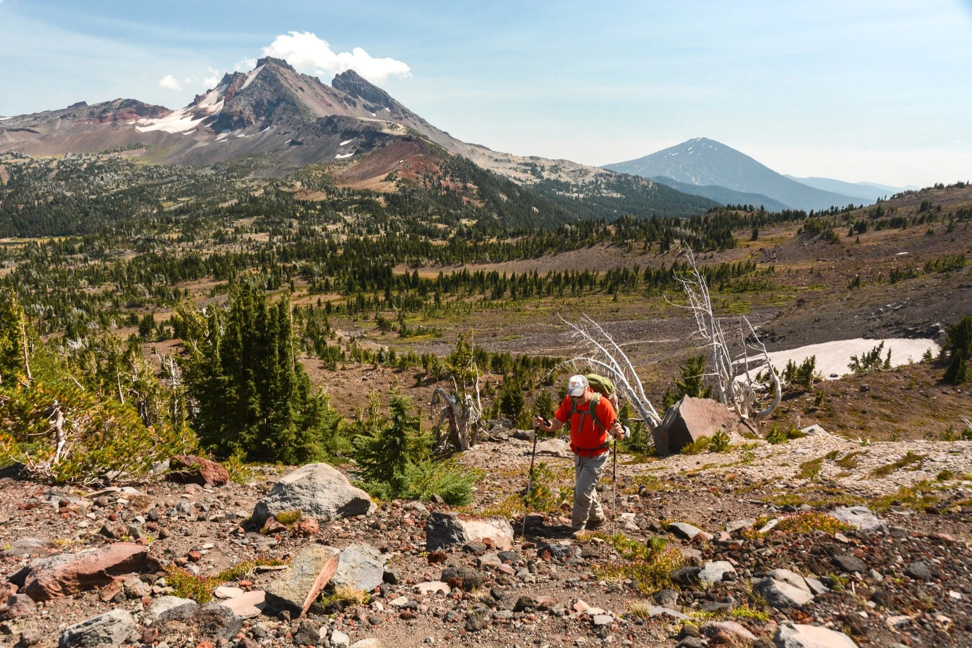
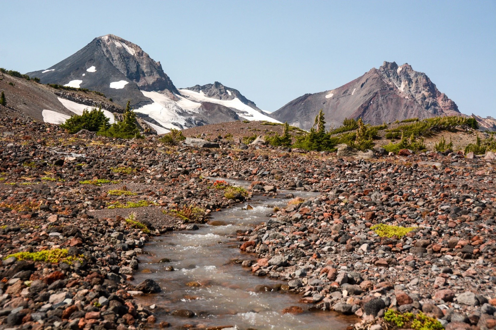
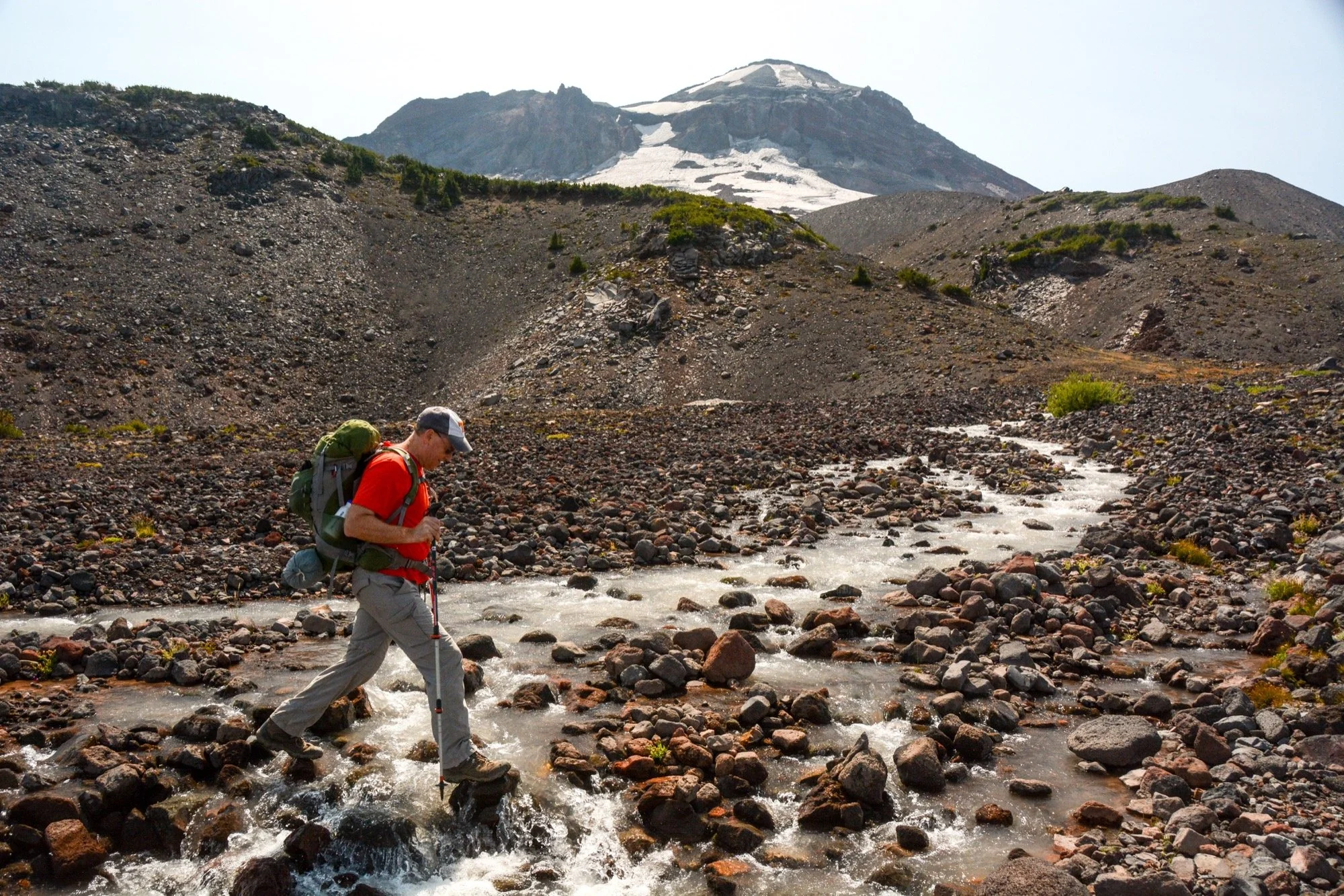
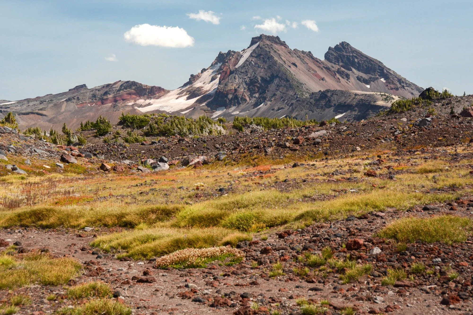
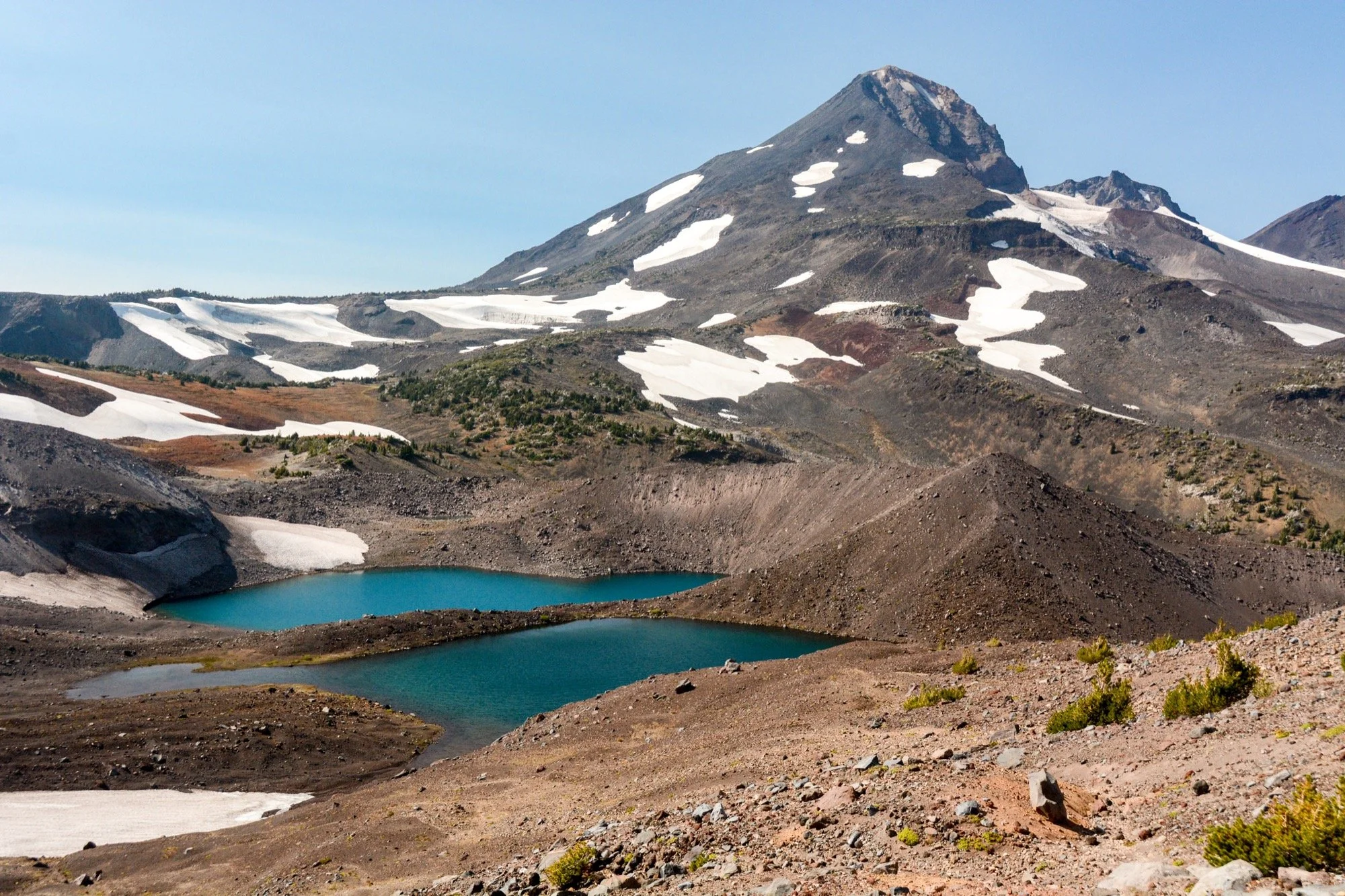
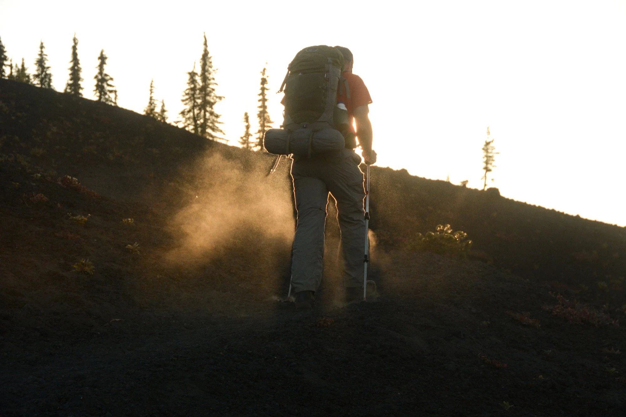
In hindsight, I wish I’d scrambled up to Carver Lake. Save it for another time, I guess. Instead, the next lakes we reached were two of the glimmering blue pools that make up the Chambers Lakes. Dad had done some stretches of the AT lately with his brother-in-law, and we commented on the differences between the backpacking experiences. On the AT, you’re walking through lush, humid forests where water is omnipresent… except along the trail for long stretches since you’re walking ridge lines. Here in the arid lands above timberline in the Cascades, we were kicking up dust and rocks with every step but never strayed far from a stream or a lake.
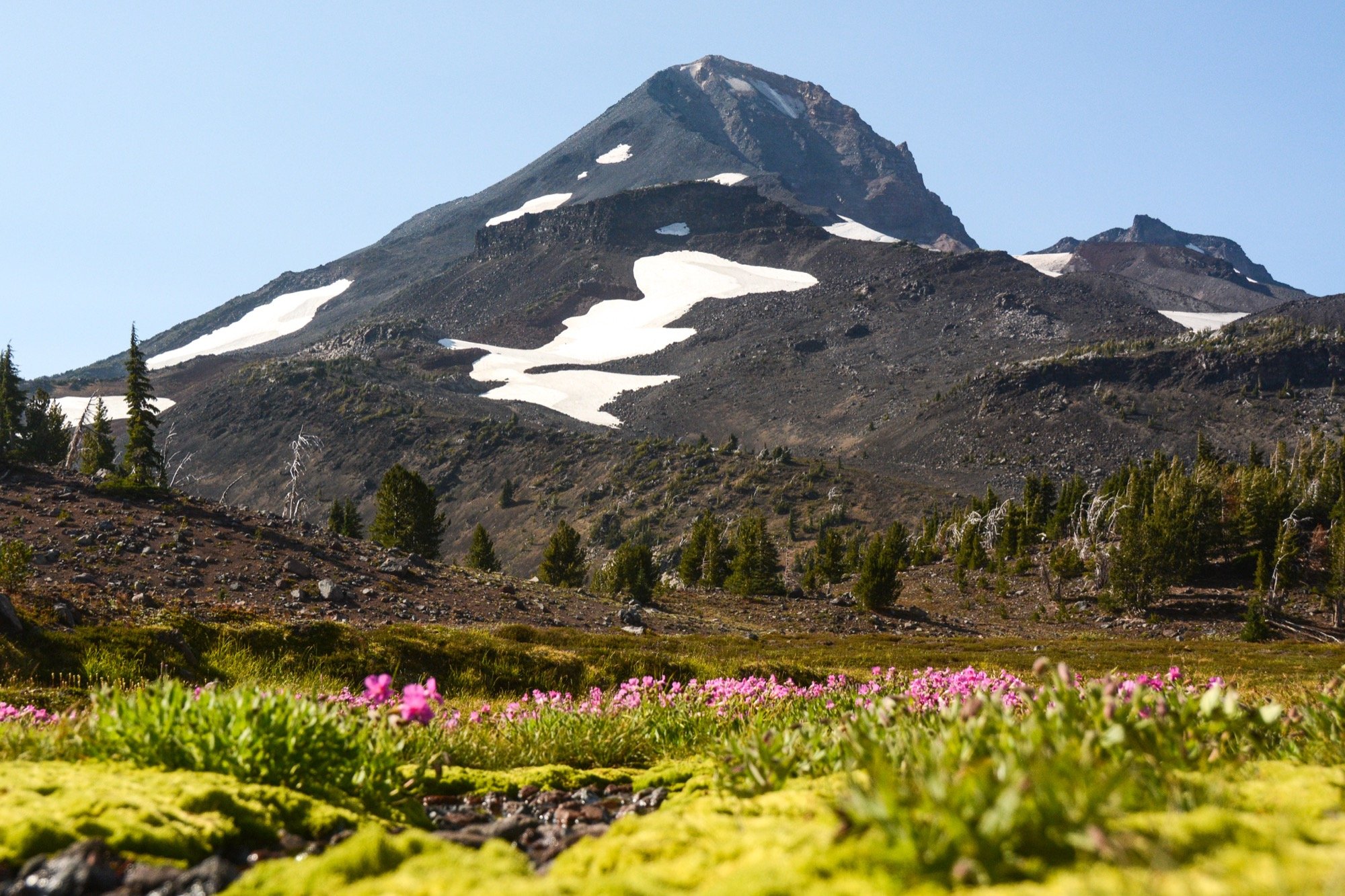
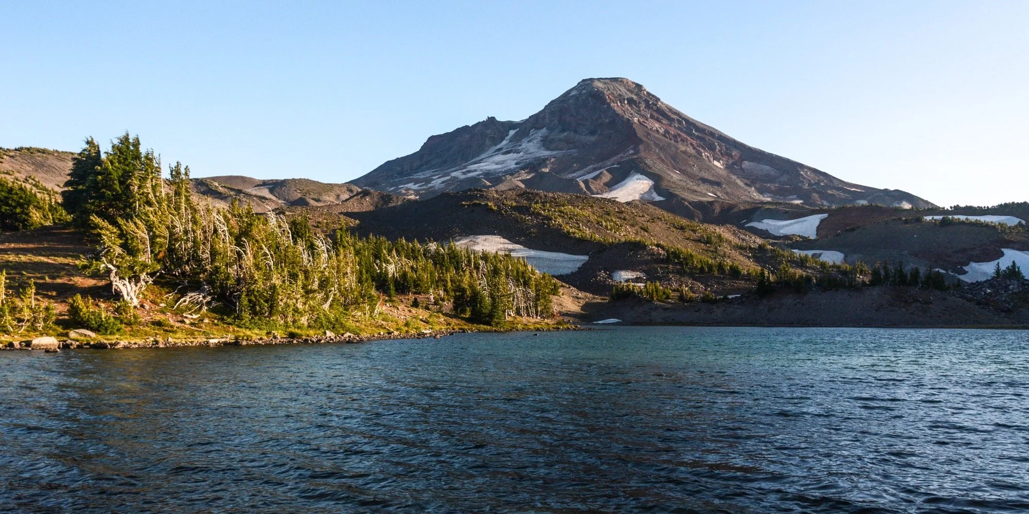
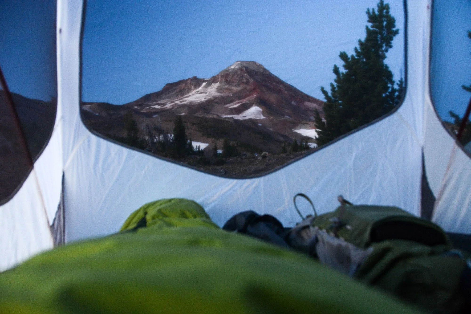
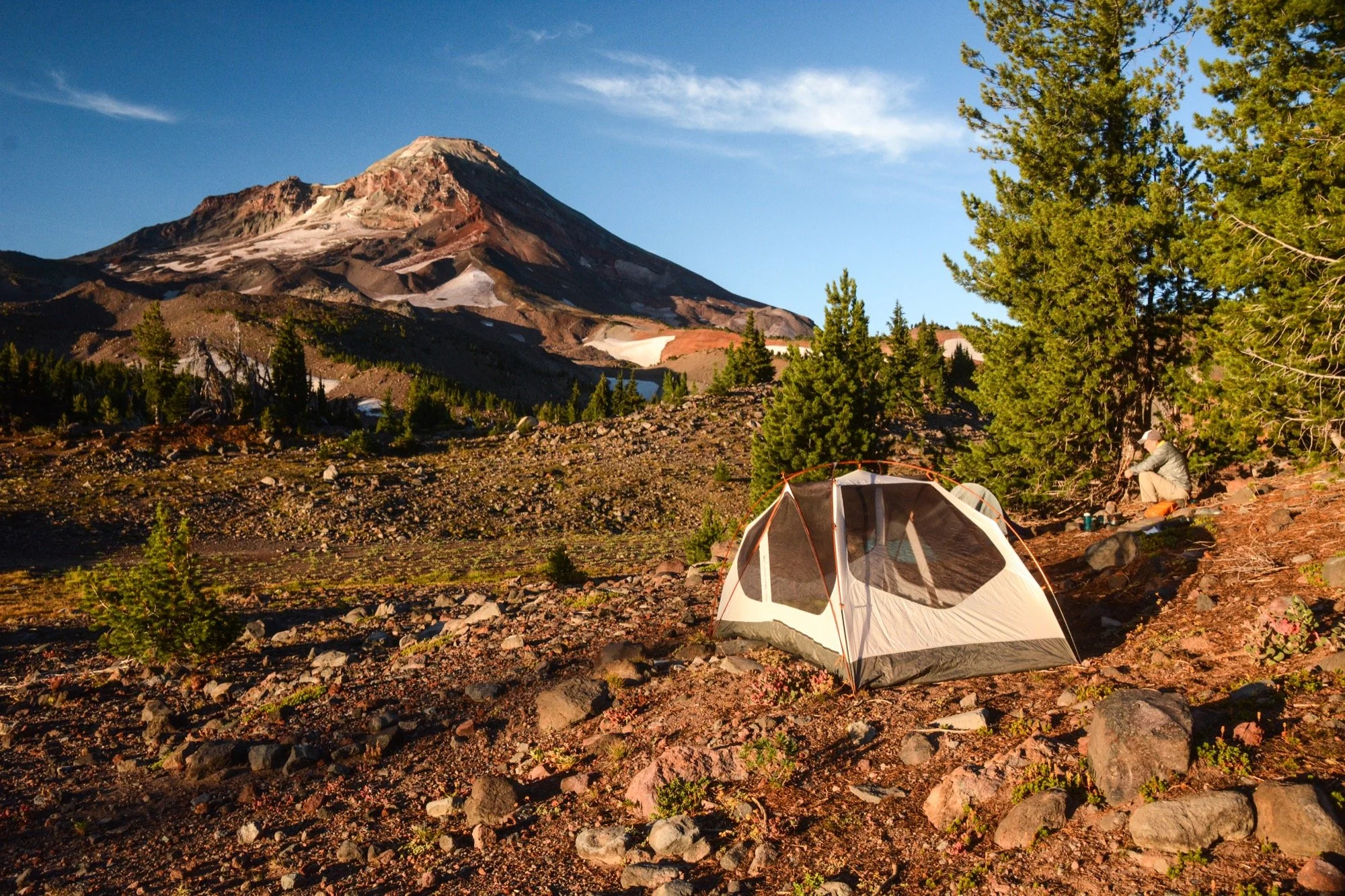
Made it to camp at, where else, Camp Lake. We tucked ourselves back away from the shore beneath some lodgepoles, opting for privacy over scenery, staying away from another group that got there before us. Not that the scenery was bad here, of course. Just no lakefront views right outside the tent. The wind picked up a bit in the evening and small waves rolled east across the water. When we woke up the next morning, everything was calm and still. No rain, so no fly, which meant nighttime views of the stars. All I had to do was prop my head up and there was South Sister, keeping watch.
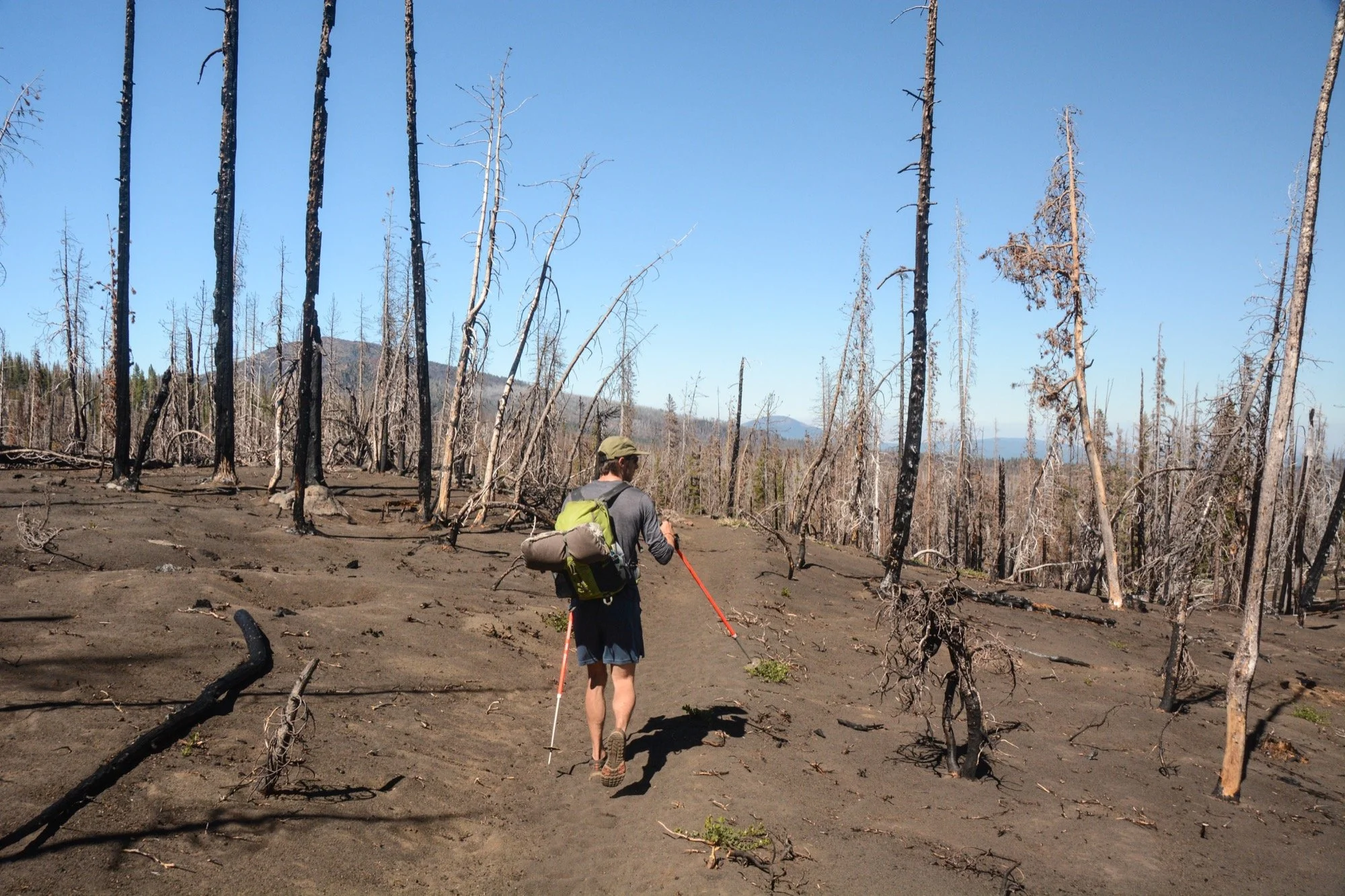
Back on trail after breakfast, we dropped down towards the Pole Creek Trailhead and waited for Danny at the last junction. He was a little later than expected, but that didn’t make us any less glad to see him. North from there, taking the Green Lakes Trail through the charred, skeletal forest left behind by the Pole Creek Fire. it had been six years since it burned, and many patches were still devoid of greenery. Succession takes time.
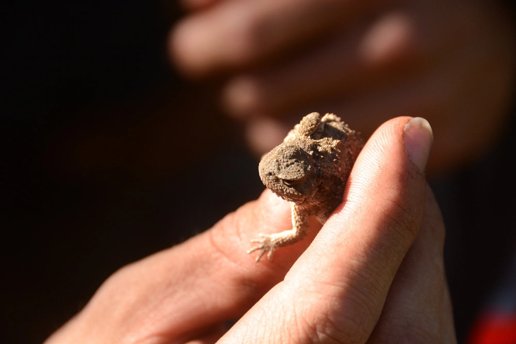
Found a pygmy short-horned lizard (Phrynosoma douglasii) on the trail as we climbed up to Scott Pass and South Matthieu Lake. We were hot and tired when we got to the water, so worn out that I didn’t take any photos there. Clark’s nutcrackers squawked from the treetops as we rested, rehydrated, and ate. After an hour or two there, we had the energy to press on, now walking south on the PCT.
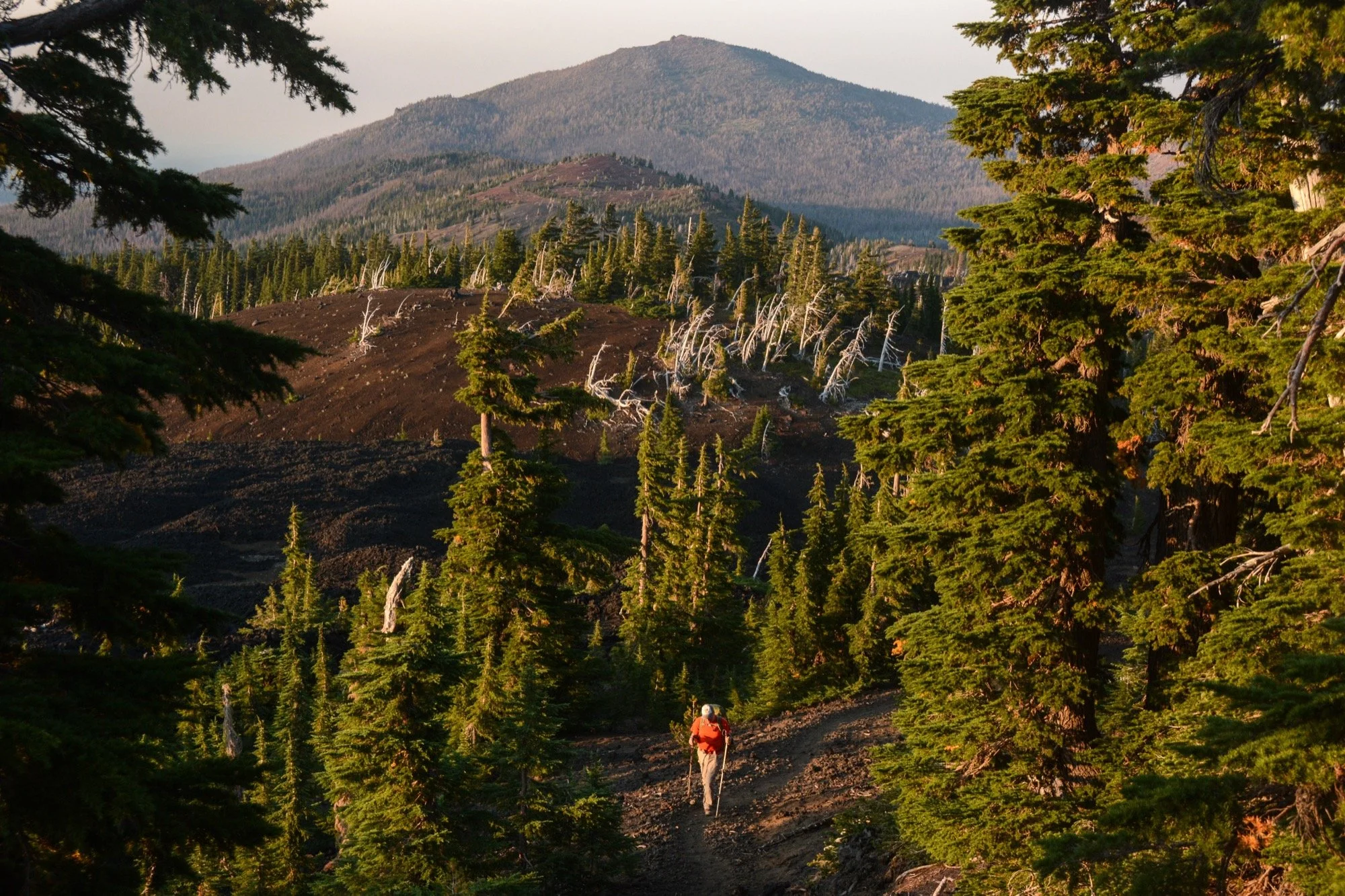
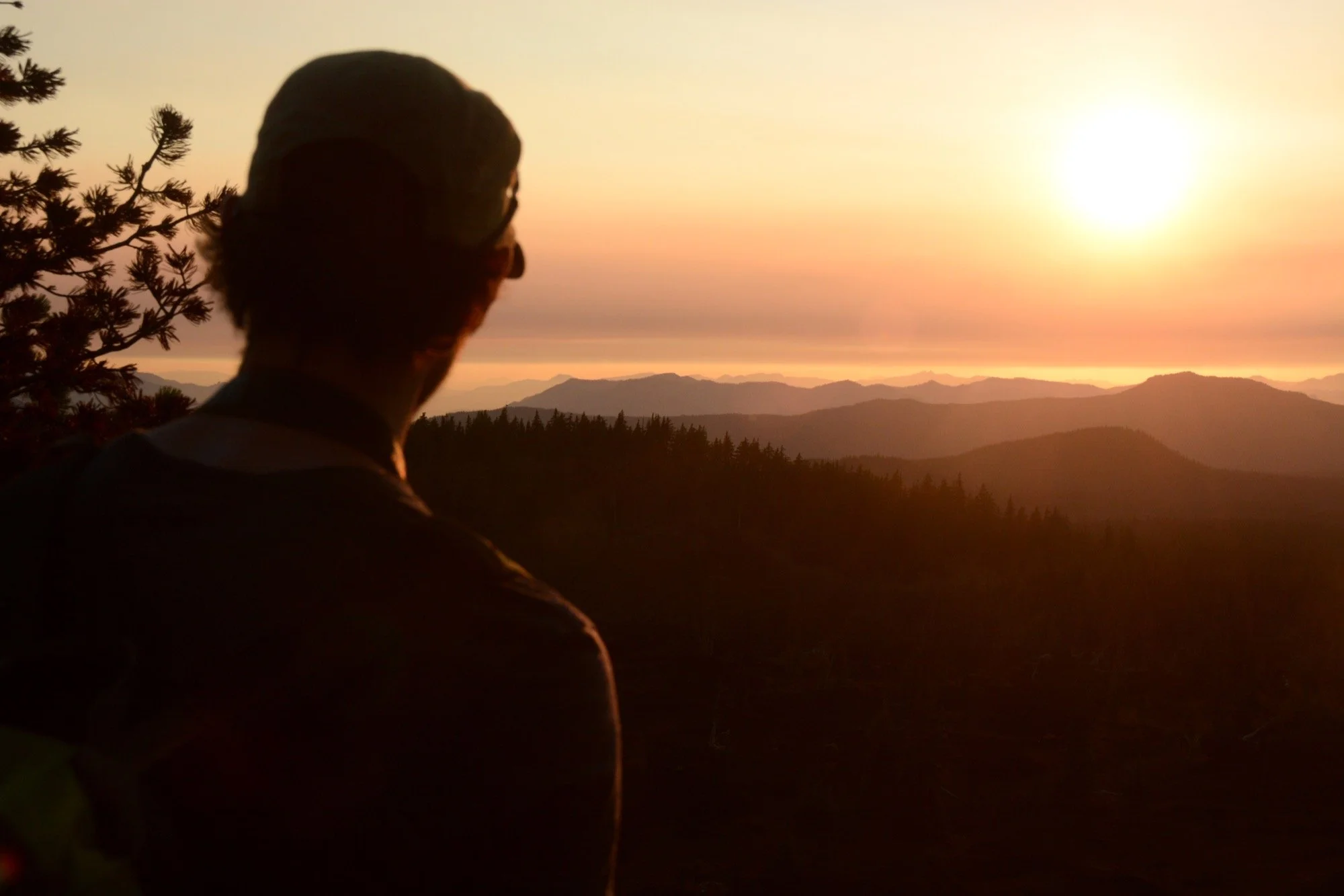
It took a little bit of self control to not scamper up Yapoah Crater, having been up there before to enjoy what is a stunning Cascadian panorama. The sunset to the west offered plenty of consolation, though, with the layered ridges of the Western Cascades looking practically Appalachian to these three hikers raised in the southeast. We found a trailside camp, said hey to a few northbound thru-hikers, and called it a night.
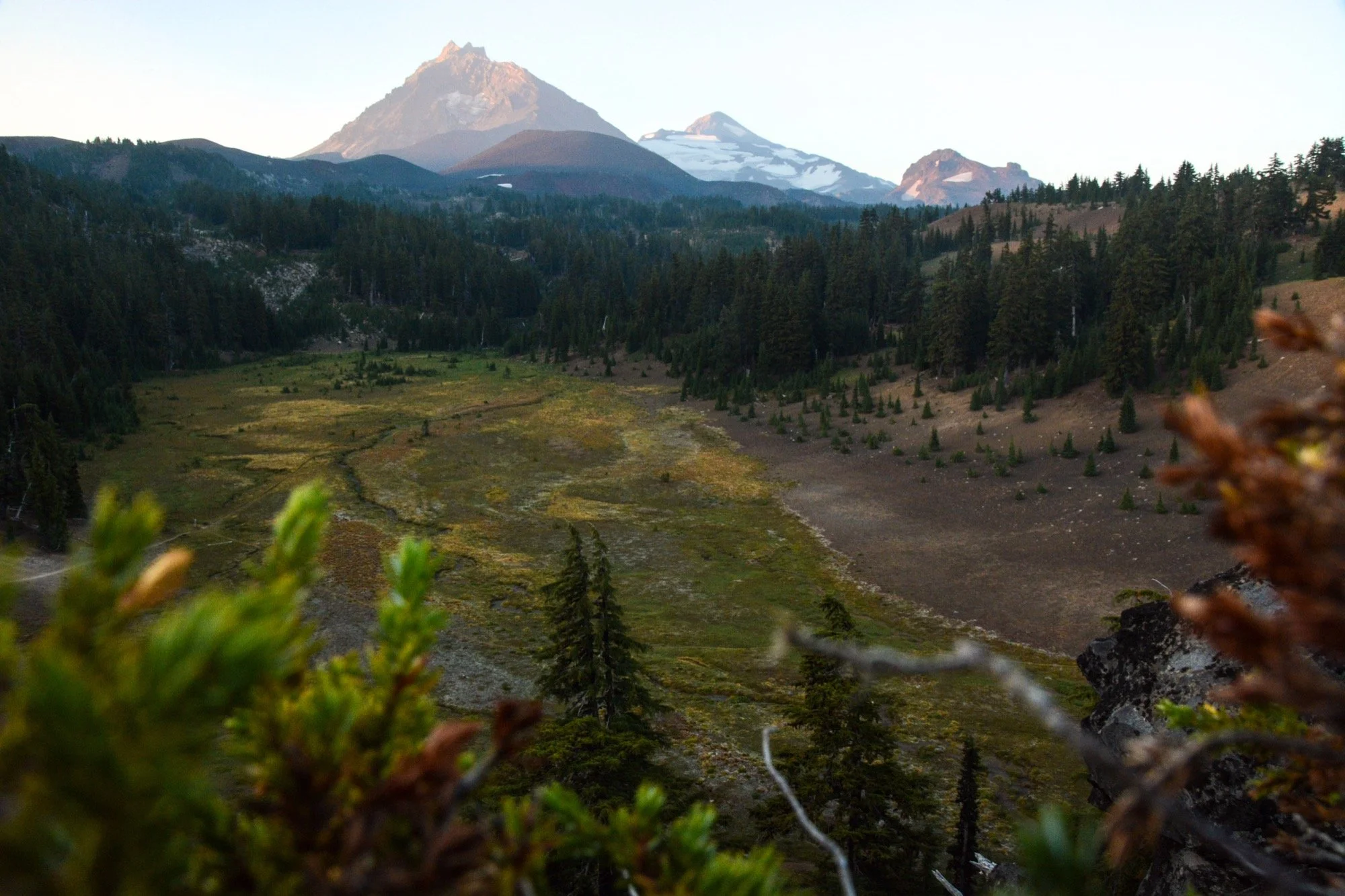
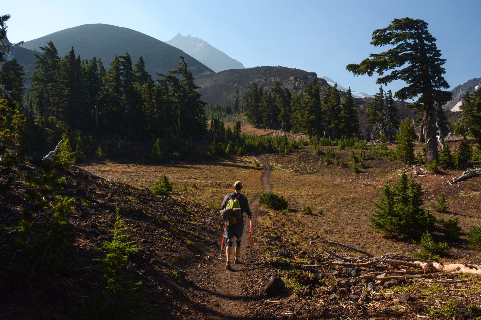
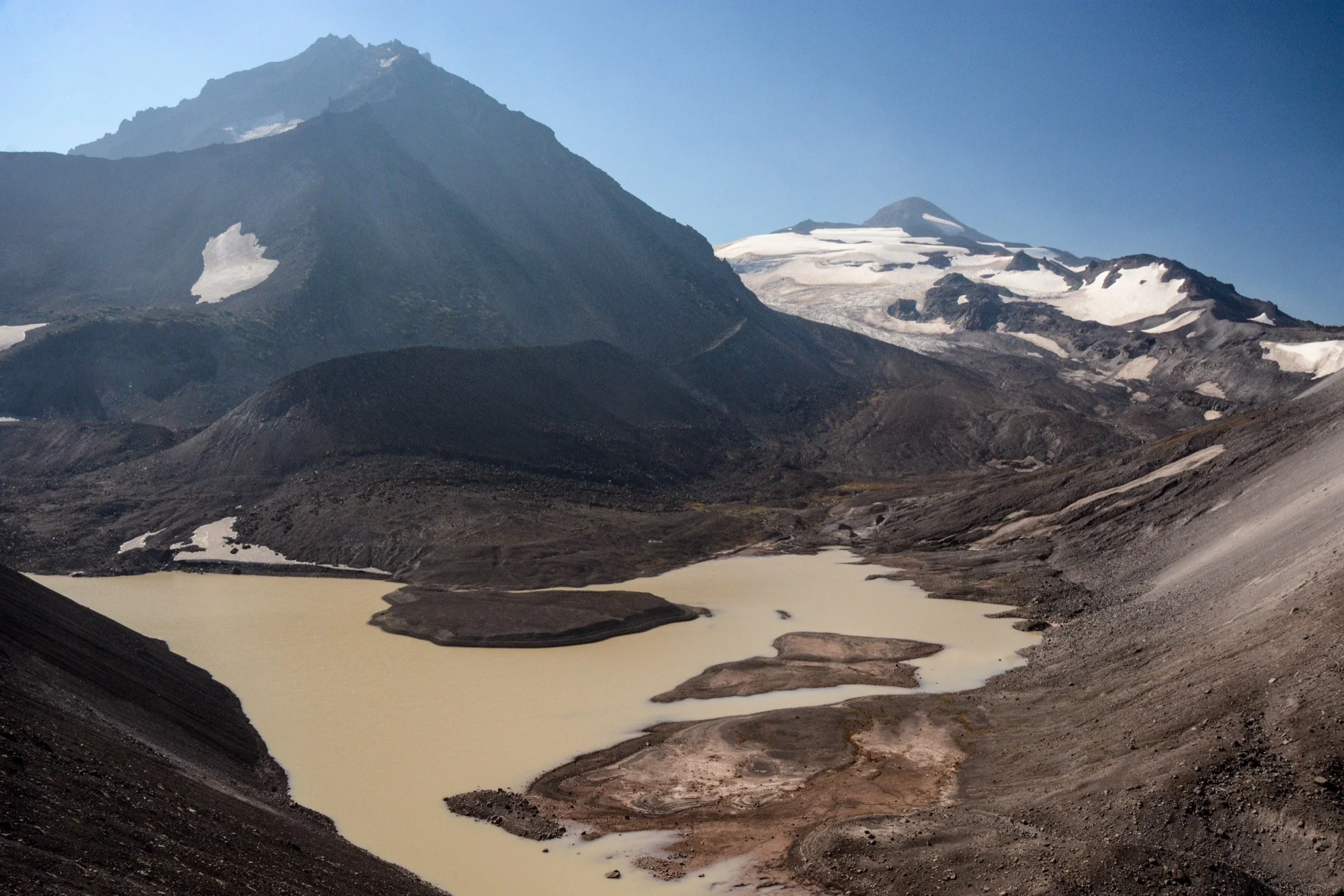
The morning saw us quickly leave the forest behind and venture once more into the jumbles of lava. At Opie Dilldock Pass, I let them go on ahead without me so I could scurry up to a saddle with a view of the Collier Glacier. As with any glacier view, I can’t help but imagine what it looked like decades or centuries ago. When was this lake revealed? When was the last time the toe was level with where I stand now? When will it all be gone?
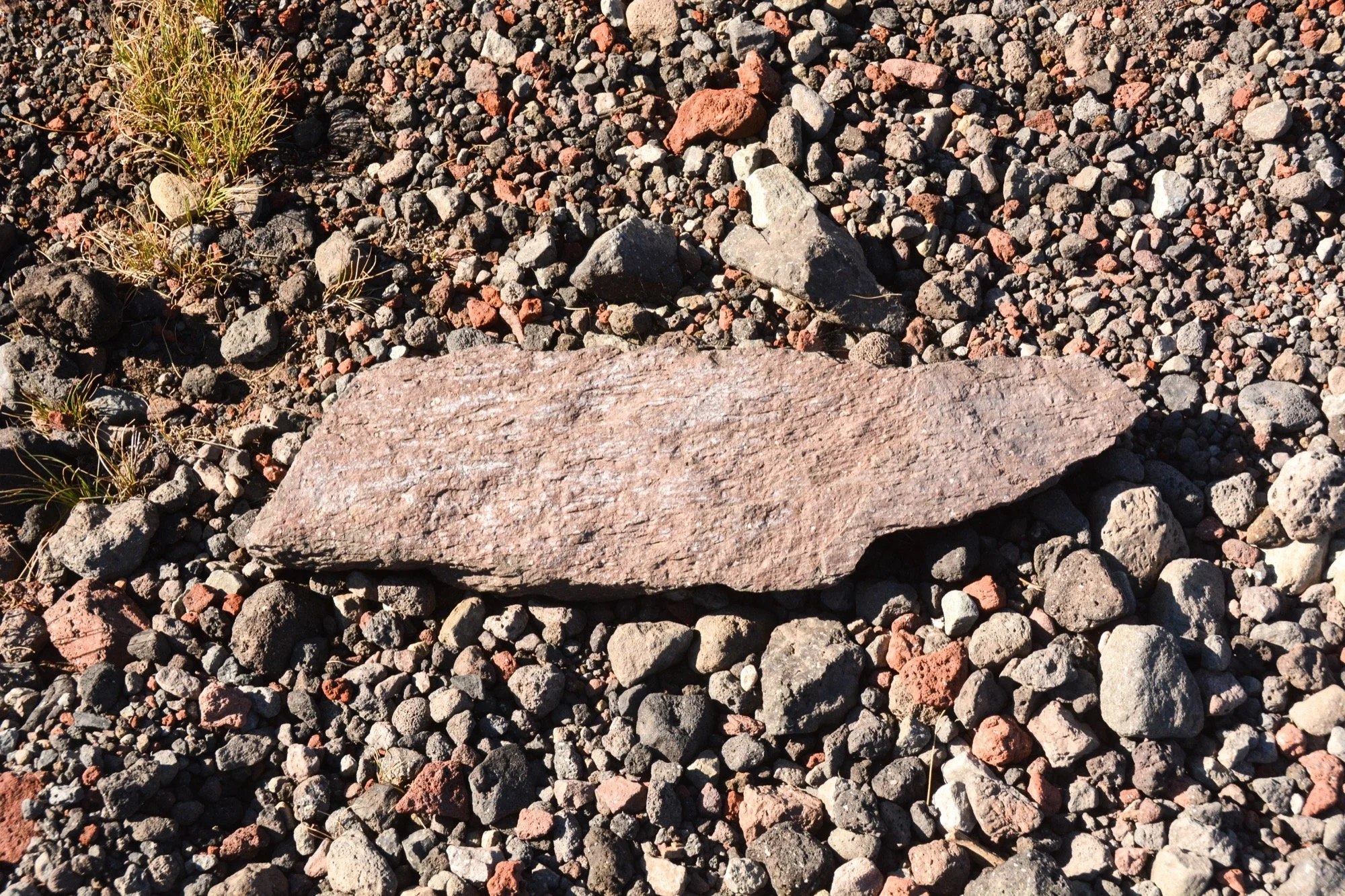
Tennessee on the rocks
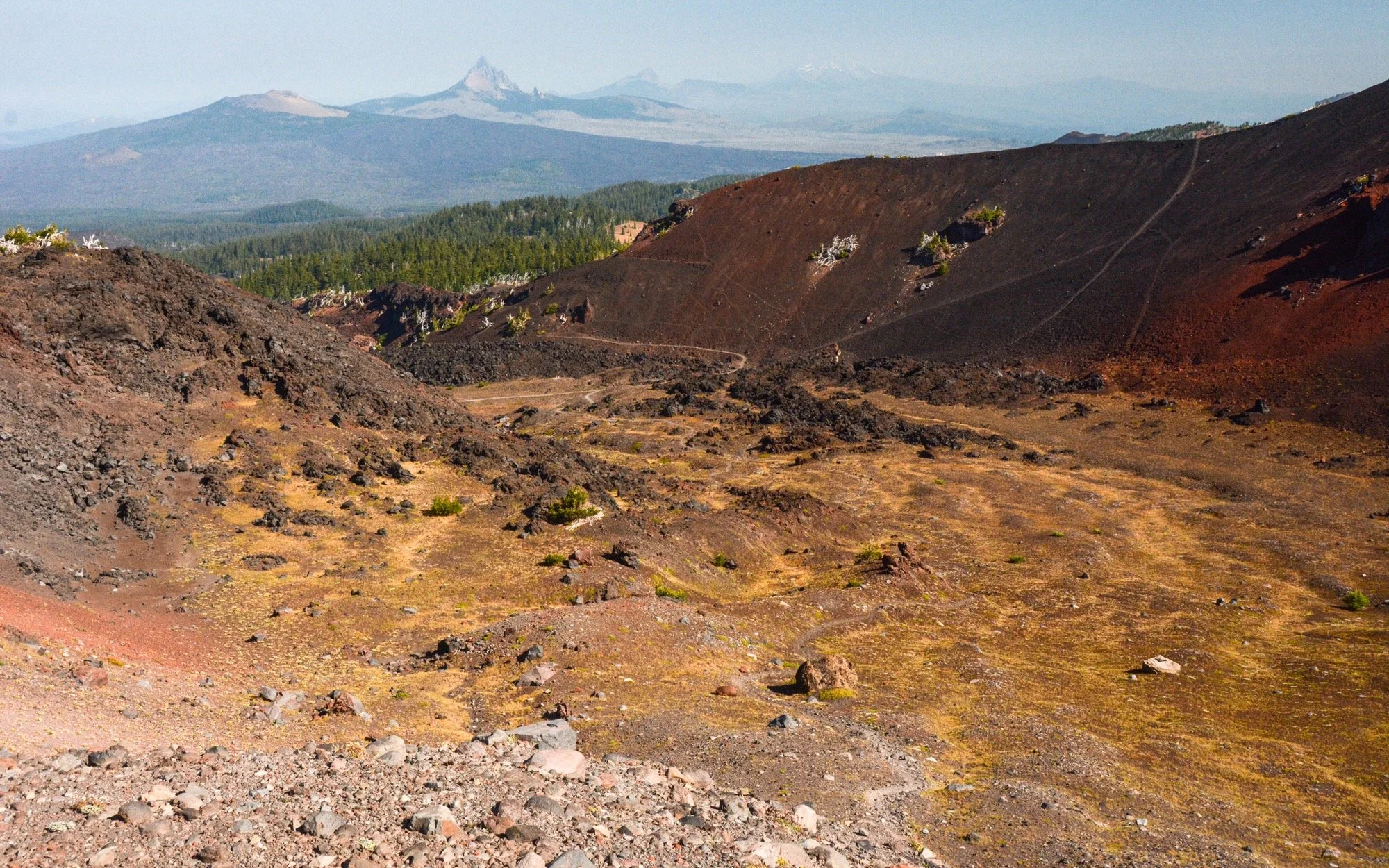
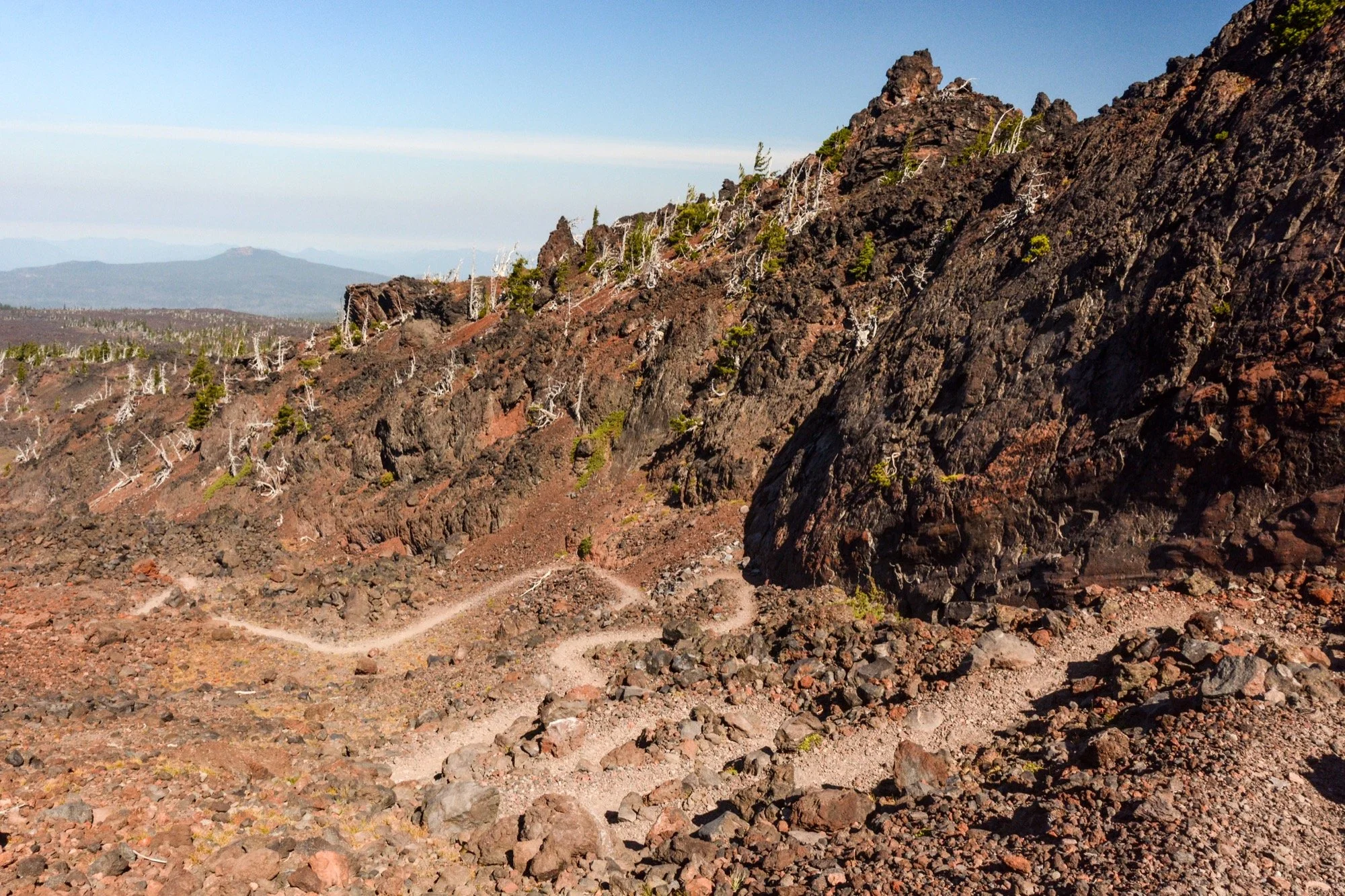
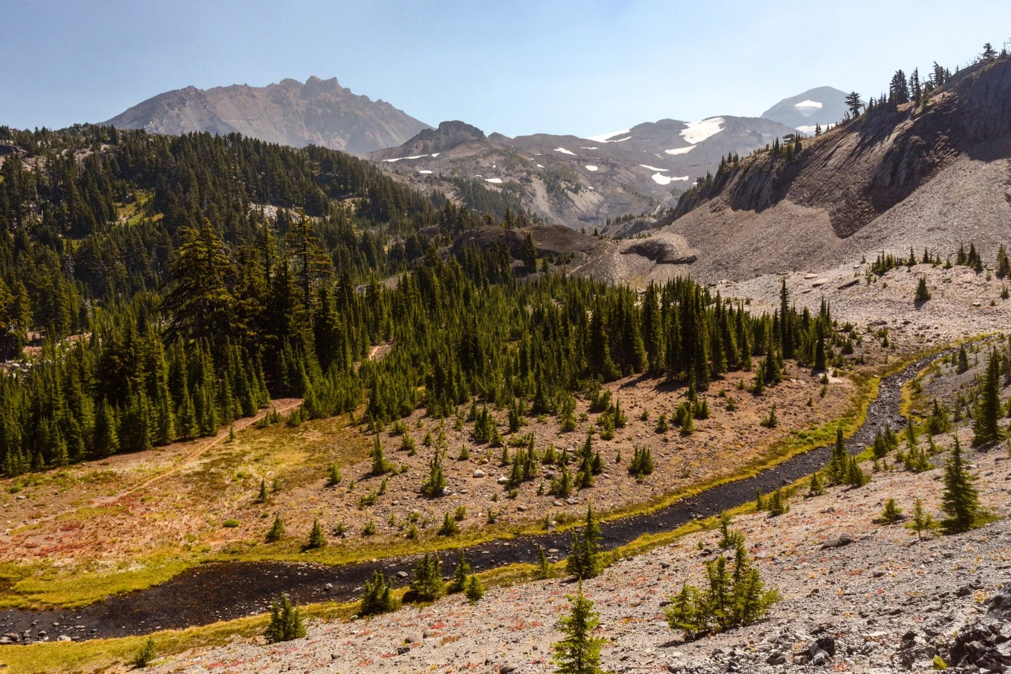
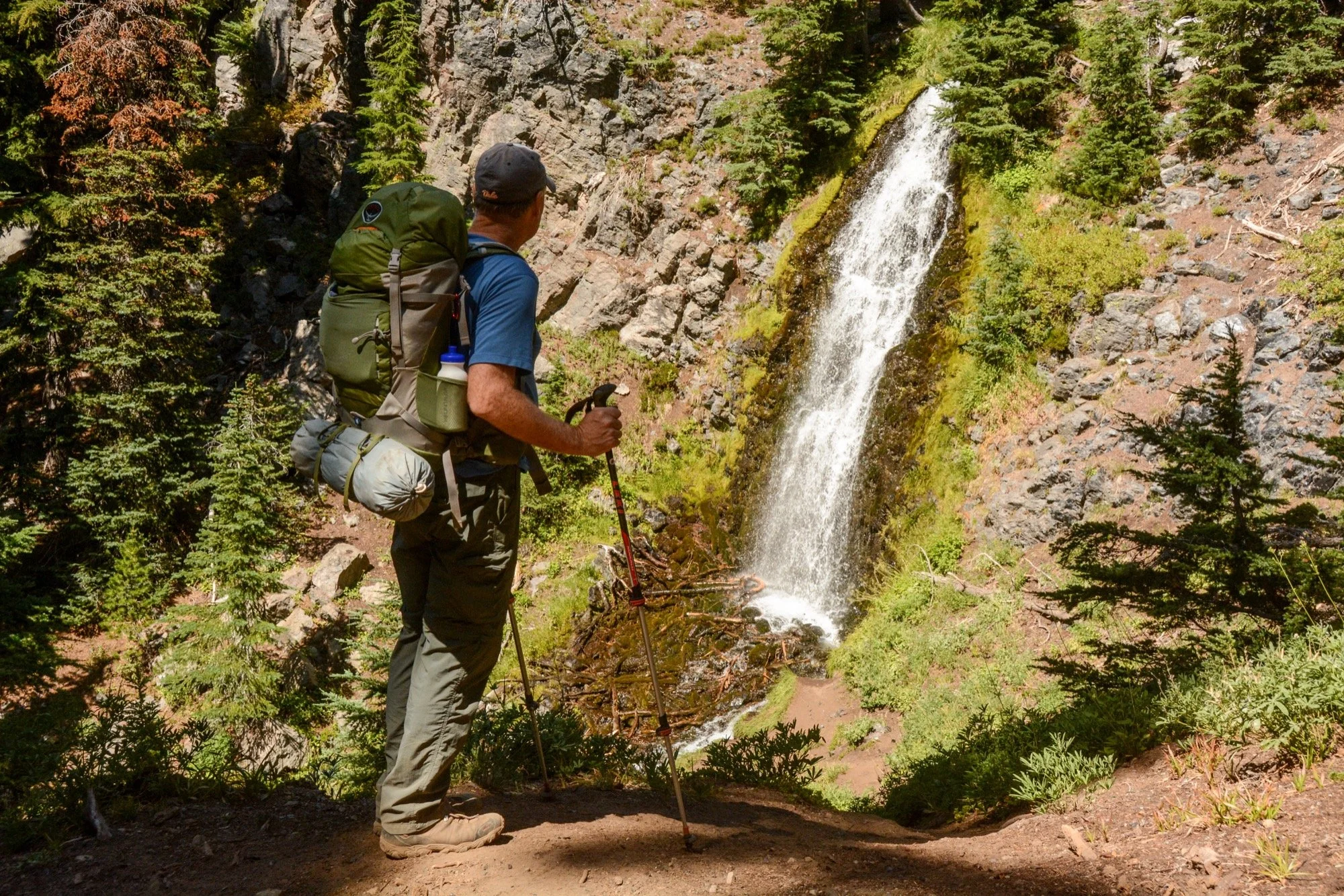
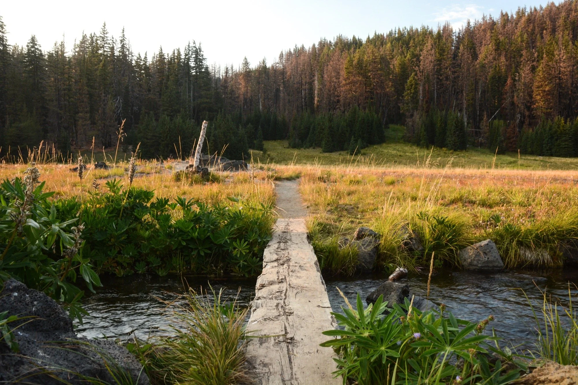
We passed through the Obsidian area midday, winding our way through open parks and crossing frigid streams. Little Brother stood above us to the east, and then The Husband came into view. The whole family of volcanos was making appearances, happy to play supporting roles in the shadows of the three stars of the show. At Separation Creek, we did what the stream told us to do and said goodbye to Danny. He jumped back over the saddle between Middle and South and we carried on through more charred forest to the lush meadows along Mesa Creek. One last campsite, nestled down below the Rock Mesa and with access to a creek so cold we could barely keep our feet submerged for more than 10 seconds.
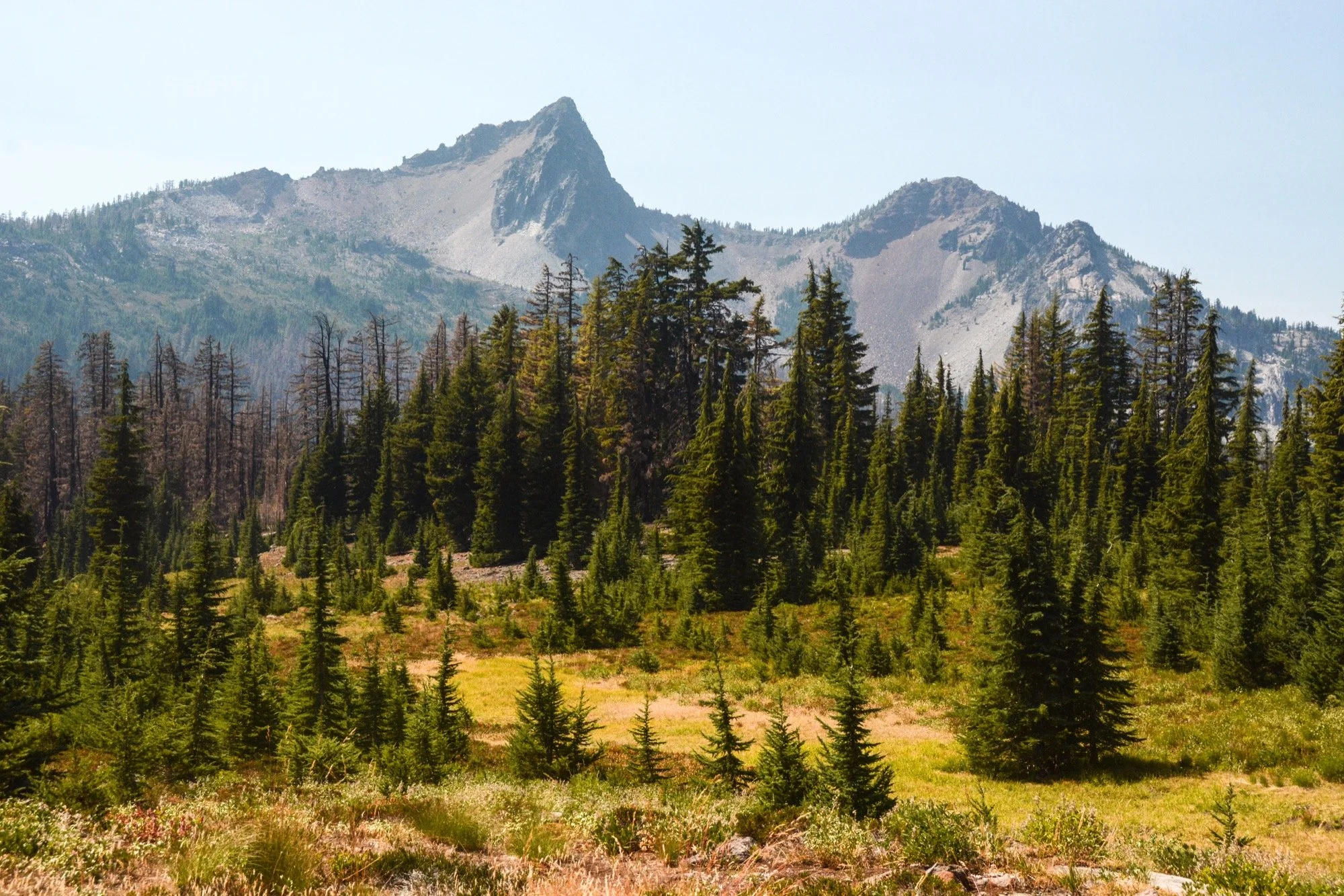
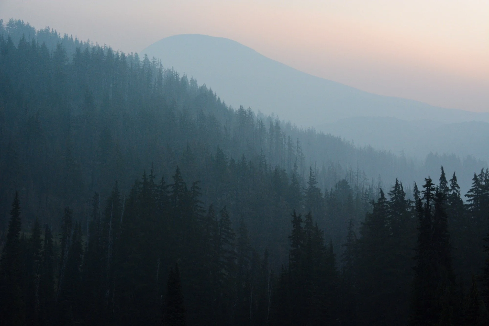
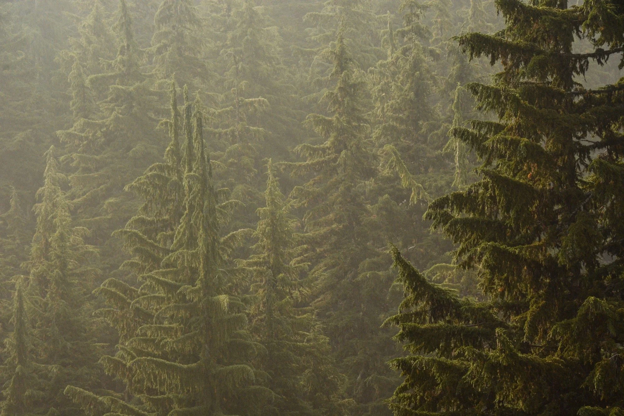
The smoke found us in the morning. The clear skies we’d enjoyed for three days were gone and now South Sister was a domed ghost rising over a blue forest. It was beautiful and ominous. And it made us very ready to wrap things up. A little bit of sickness or indigestion or something on the way up to the Wickiup Plains. Was it the smoke? Or just a bad backpacking diet?
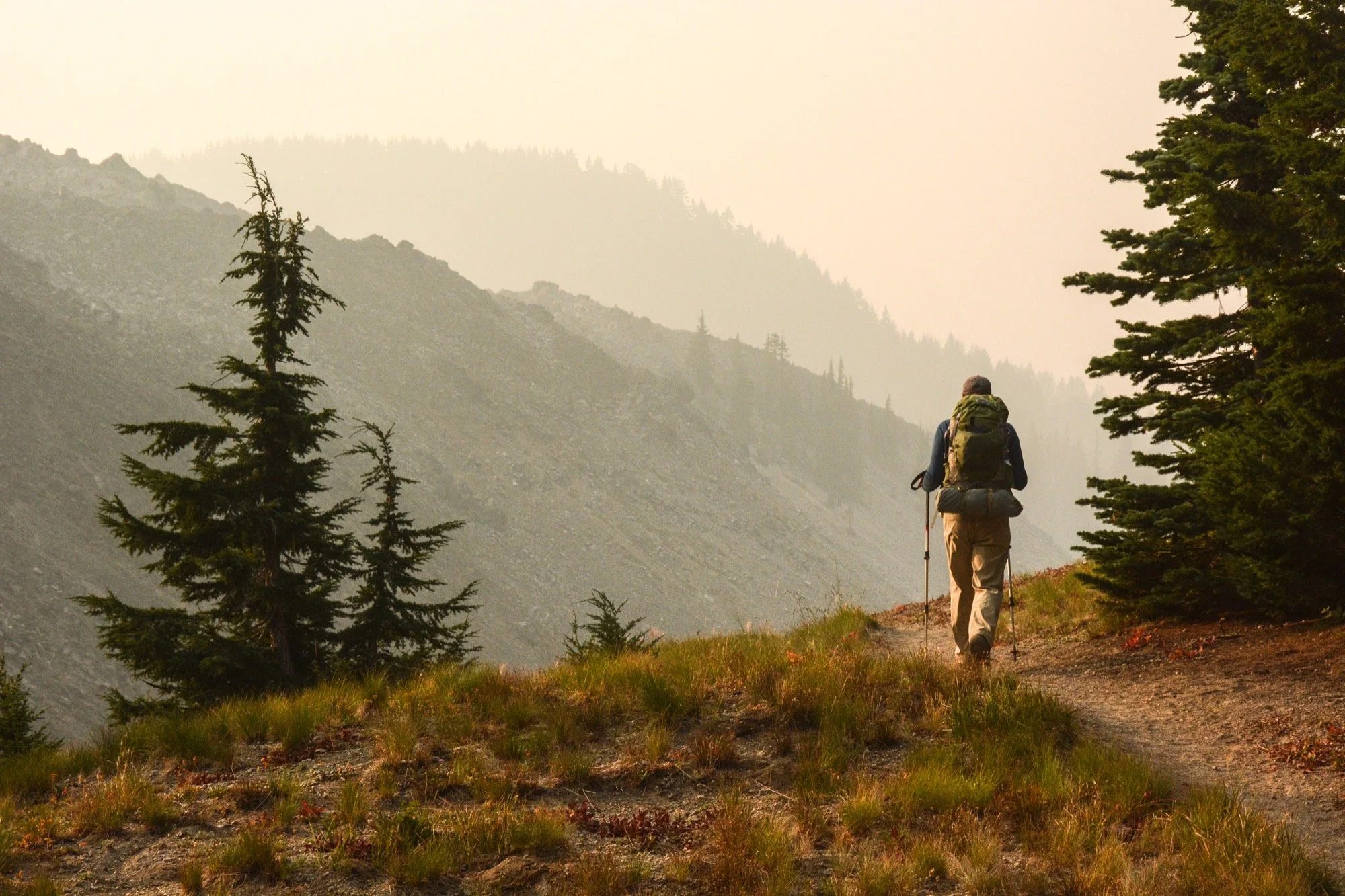
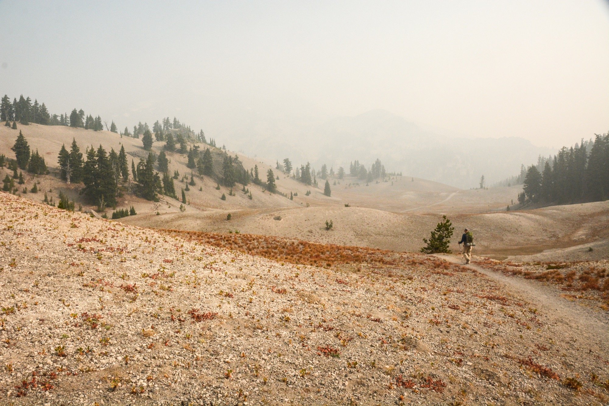
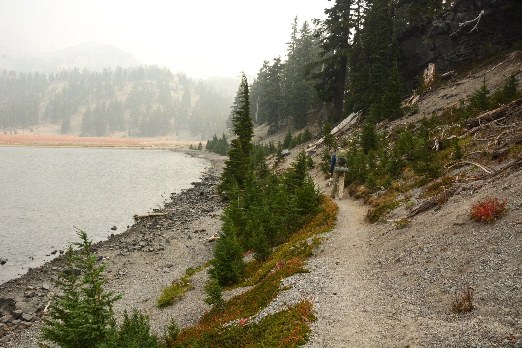
No views from the plains, no South Sister to be seen from the shores of Moraine Lake. It’s a strange experience to be in a landscape you know so well when so much of it is occluded. The shroud of mystery tests your memory and causes you to focus on different features. I tried to impress upon my dad that the mountain was right there, but words can only go so far.
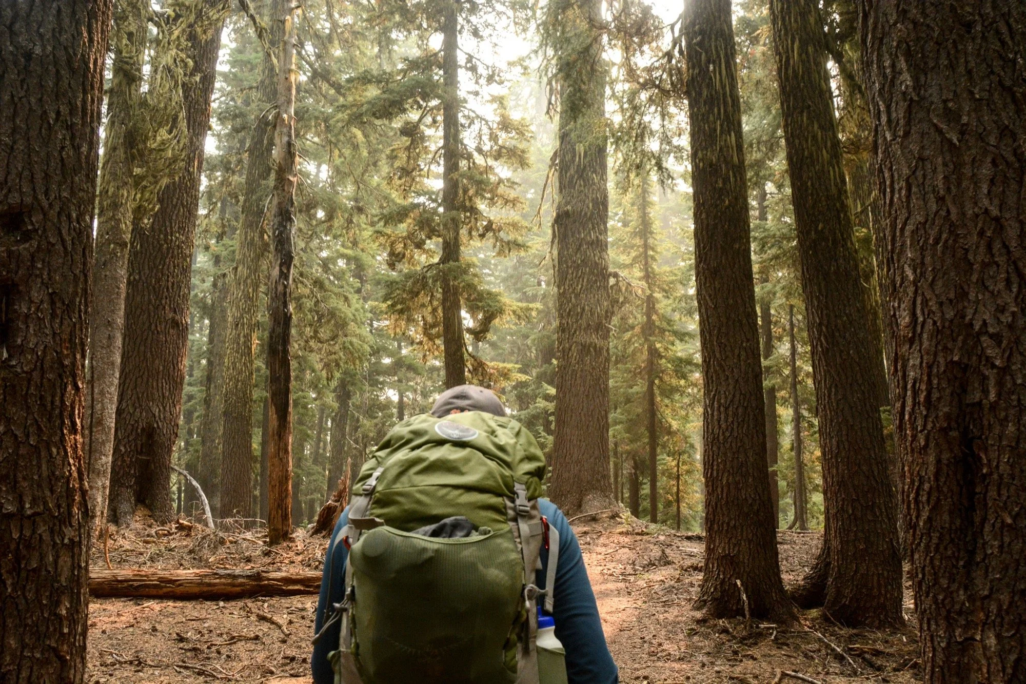
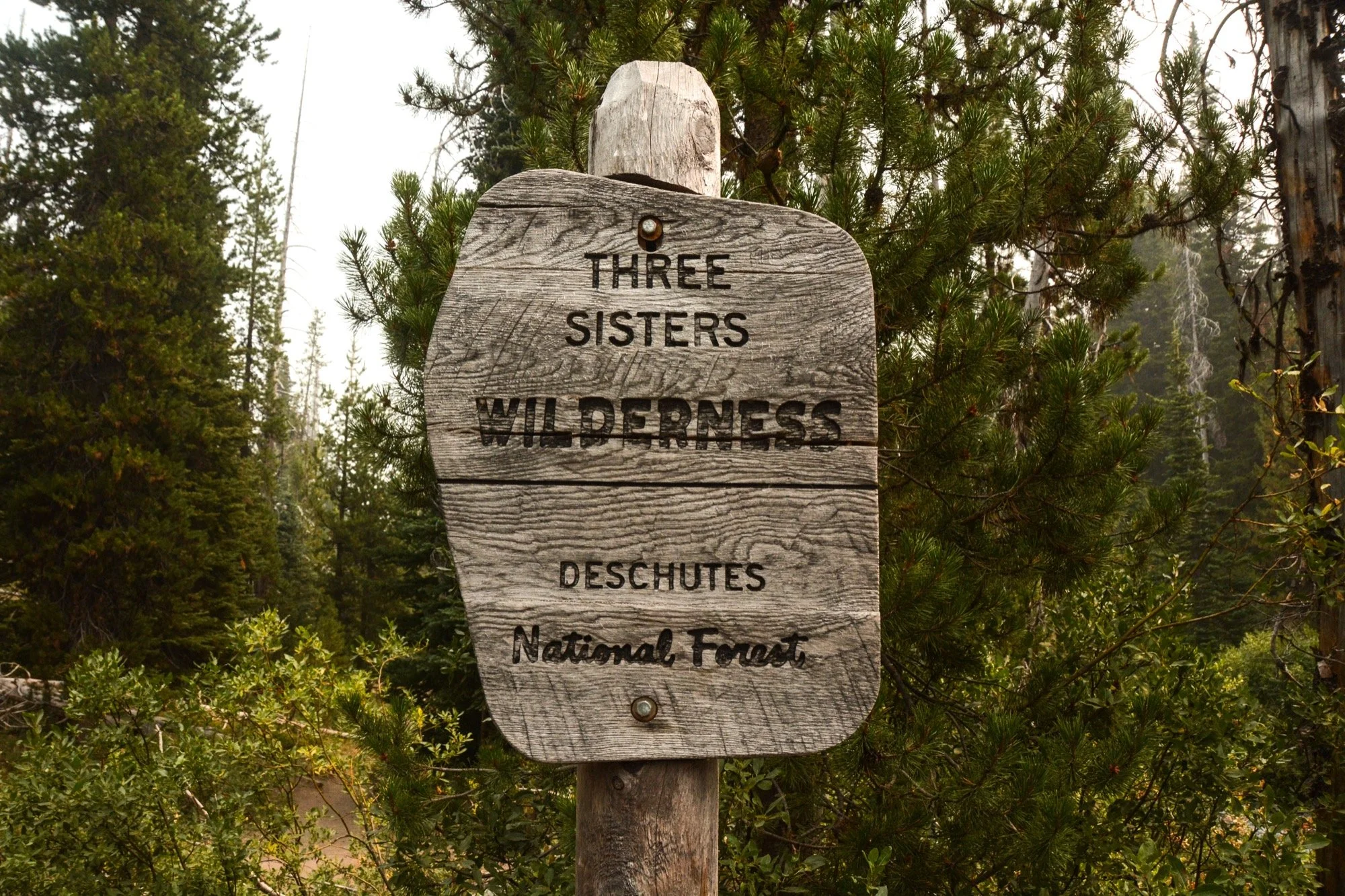
Roughly 72 hours later, we were back where we started: on the banks of Fall Creek at the edge of the Three Sisters Wilderness. Seeing Oregon’s third, fourth, and fifth-highest peaks from every angle fostered a new appreciation for the volcanos. You get so attached to the profile you see most often, so seeing their hidden faces paints them in a new light. They’re the same mountains, but now the mental geography they occupy is a better mirror of the physical terrain. Loop hikes (sorry, lasso hikes) are the best.