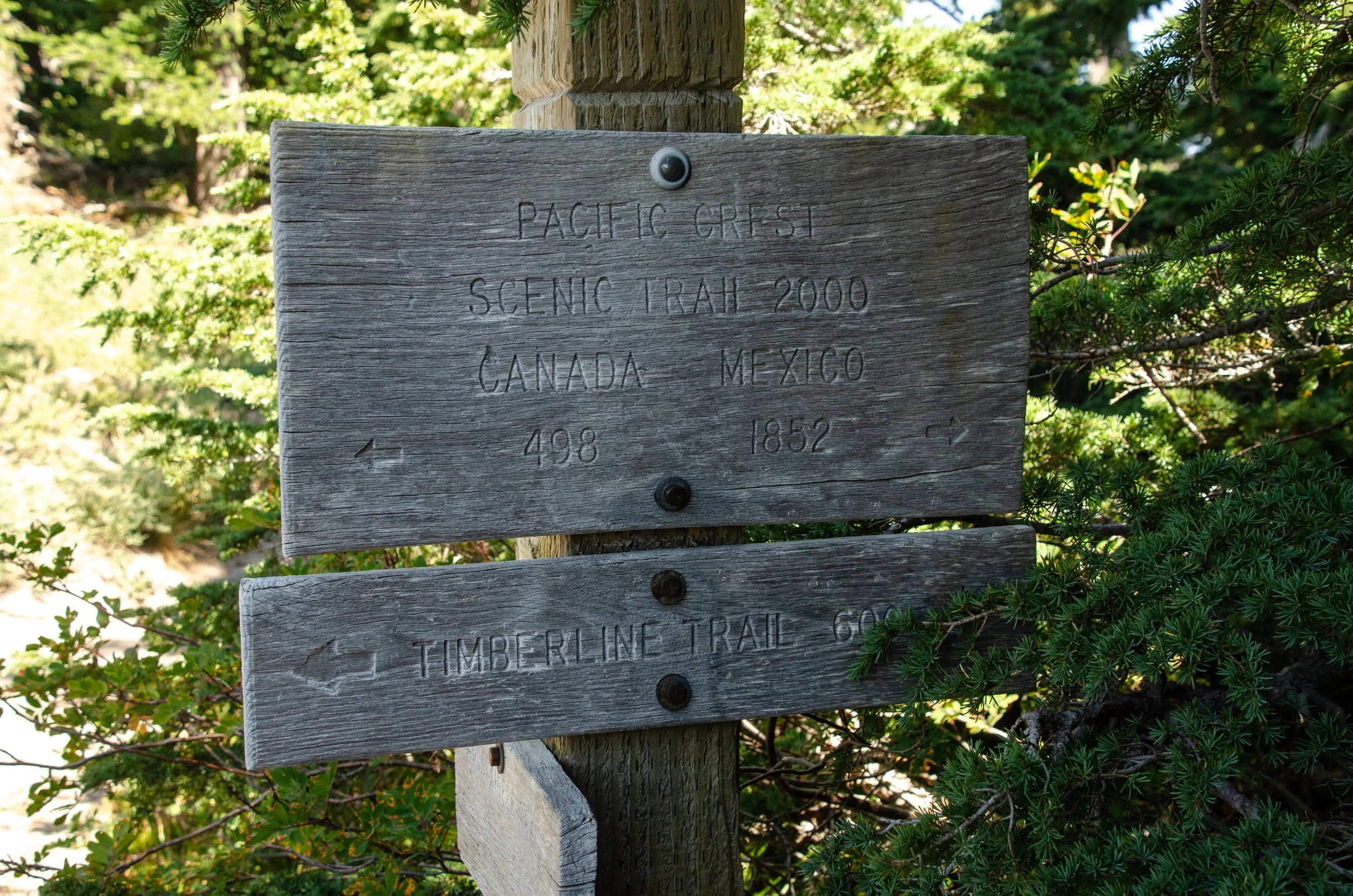
Counterclockwise Timberline
August 30–September 1, 2020
3 days | 41.8 miles | 9,685 vertical feet
We had a permit for the Enchantments. Not the core, but two nights around the Snow Lakes. I had three days available, so it was going to be a haul to zip up there from Bend, find parking, and get out to a campsite among what I assumed would be bigger crowds than we wanted to see. So, we scrapped that plan and did the Timberline Trail instead. Less driving, fewer people. It worked out wonderfully.
We went counterclockwise in three days, and now we know why most people do it clockwise in four days. The campsites just don’t fall out as nicely in the direction we went, and you save a big section of climbing for near the end. Also meant that almost all our encounters with other hikers had us going in opposite directions (and masking up out of courtesy and overcaution; didn’t really know what to do about covid on the trail).
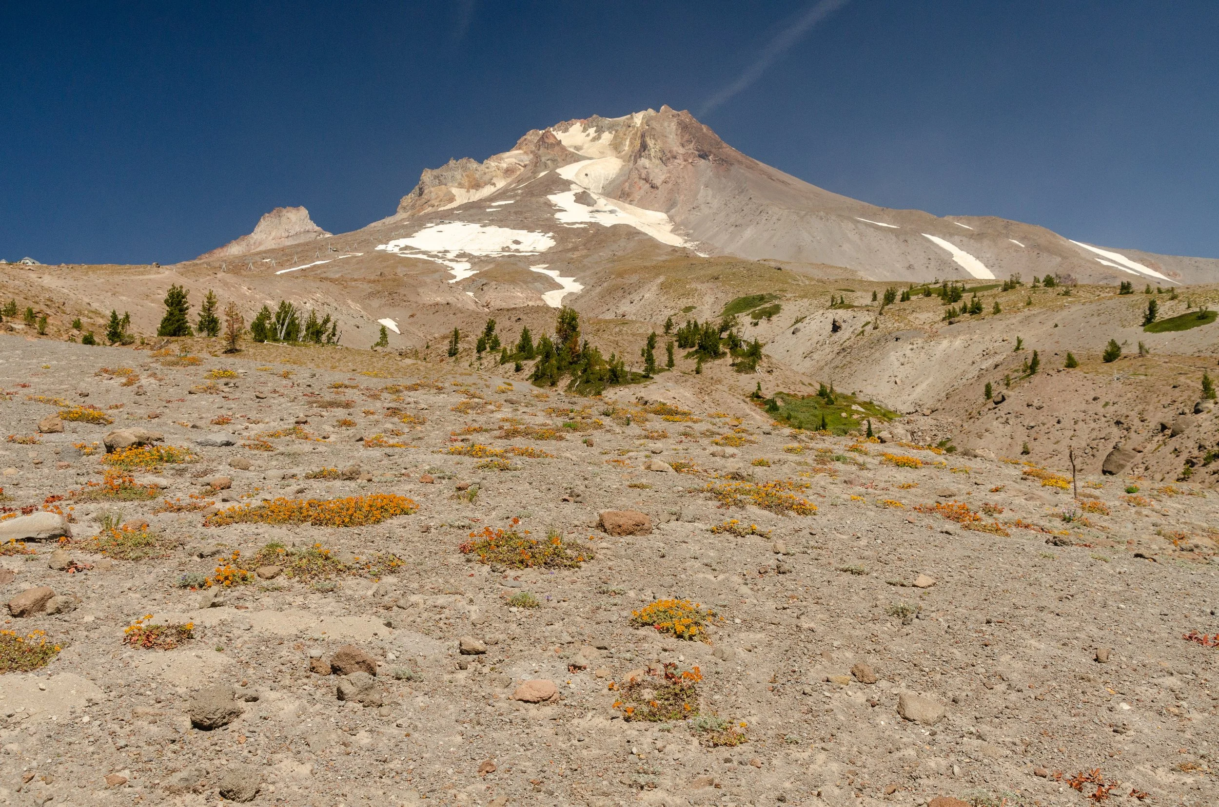
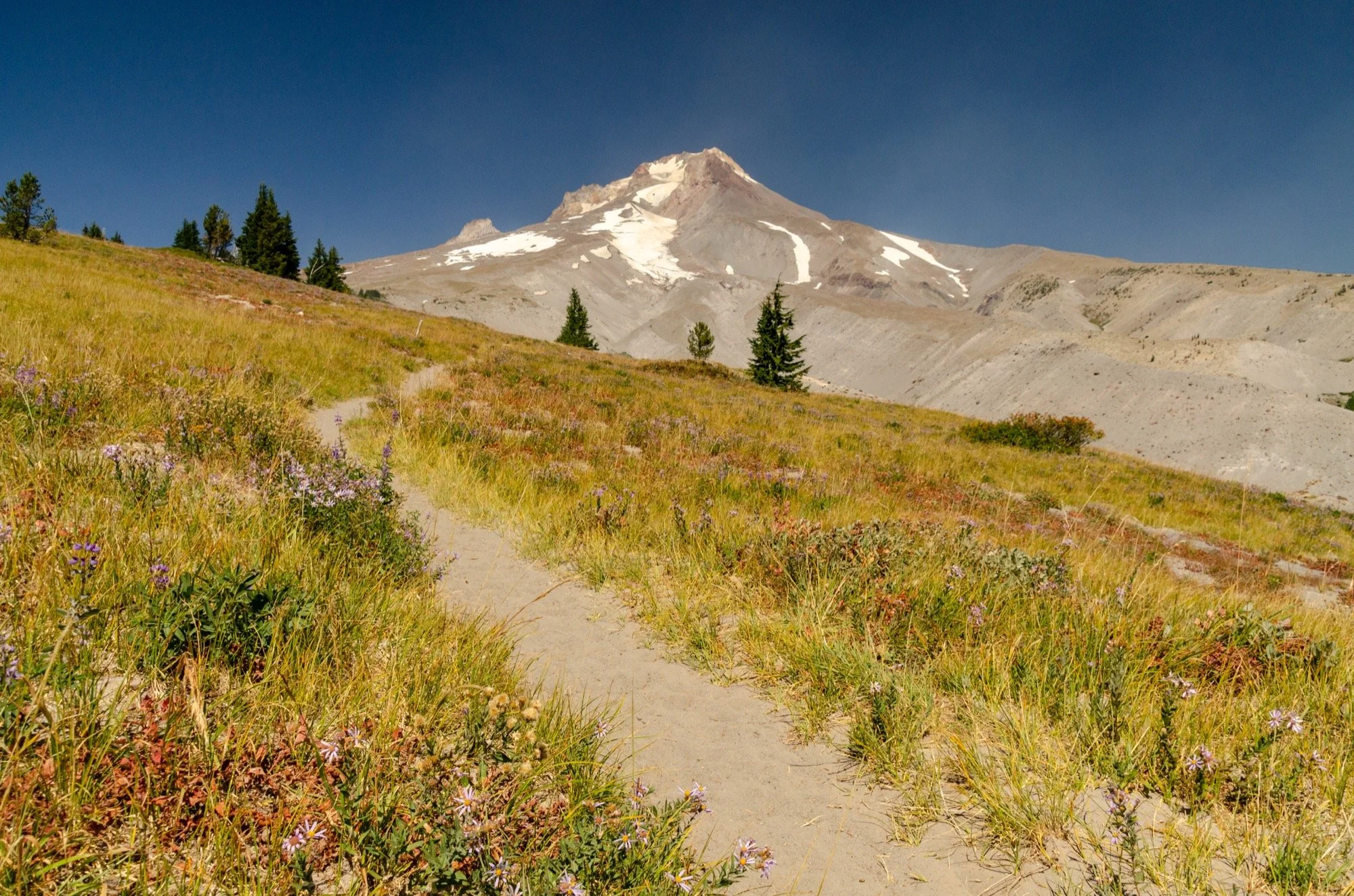
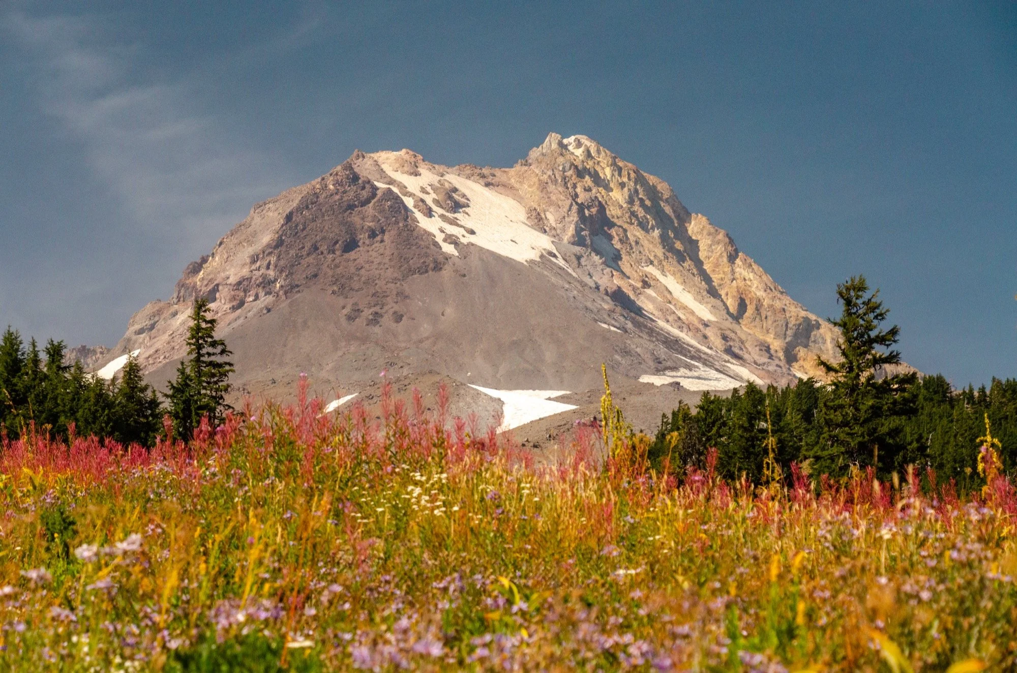
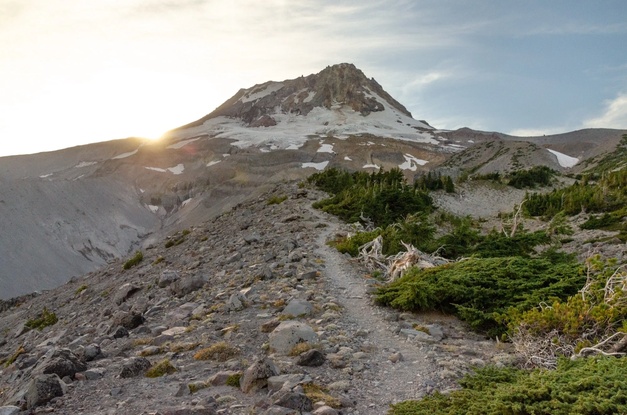
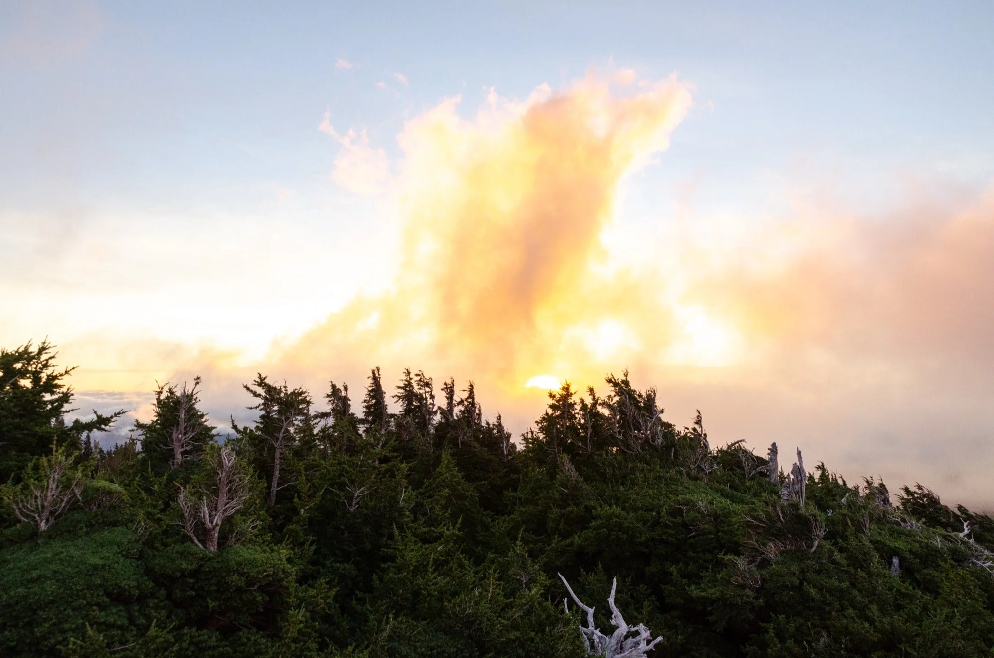
Blue skies overhead to start things off with wonderful views up to the summit near Timberline Lodge (our start and finish point), but the White River Fire was flaring up to the southeast. Not long after our trip, the forest would close due to the fire activity.
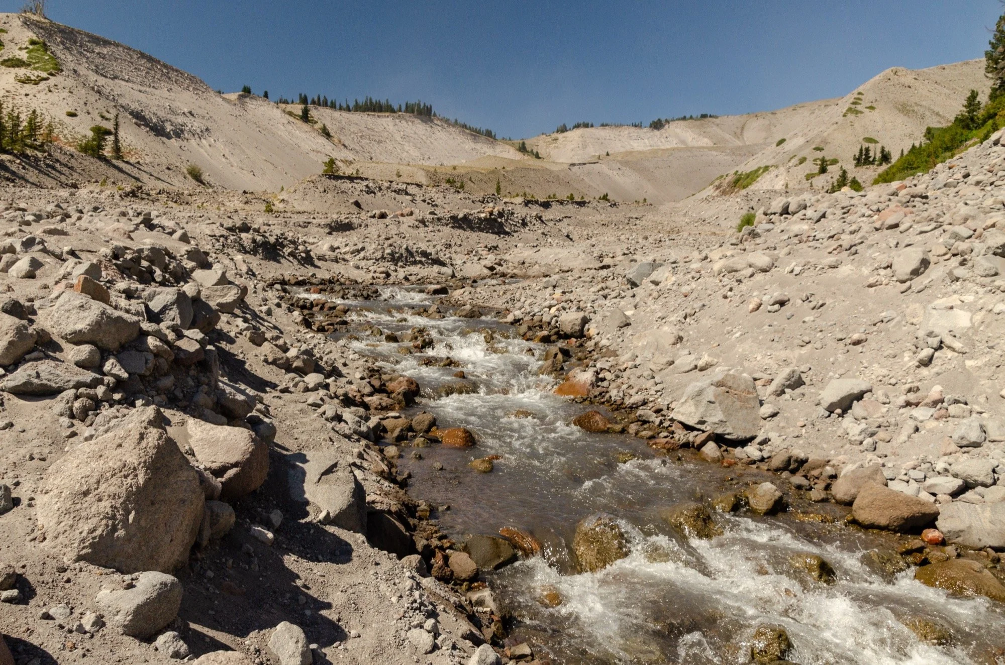
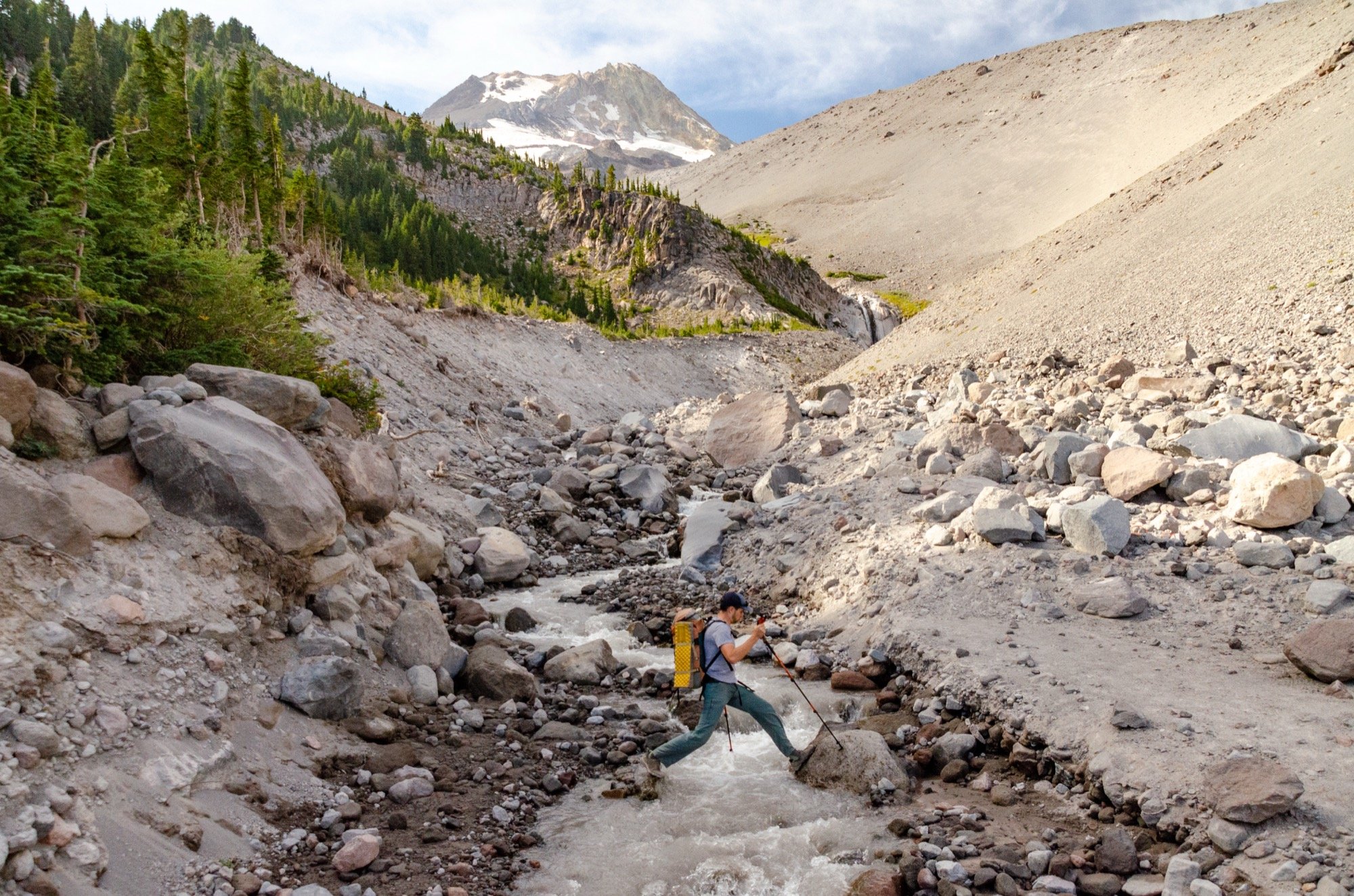
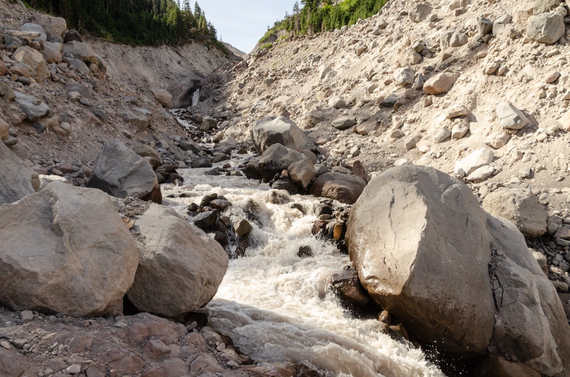
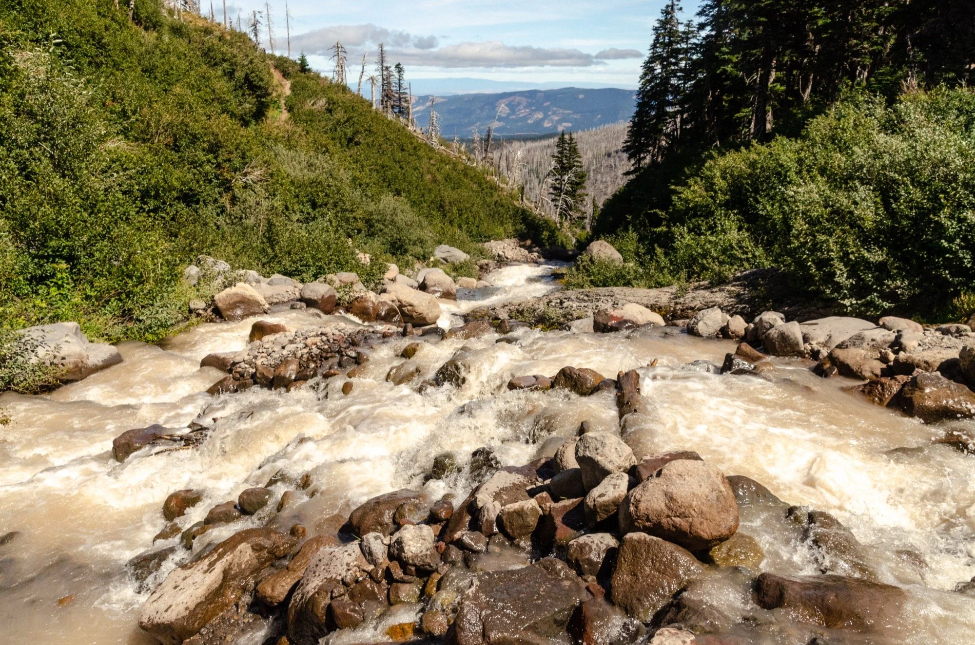
The White River was our first river crossing of the circuit. No bridges on any of these glacially-fed drainages, and that can apparently make things tricky earlier in the season. Late August is kinder, though. We used trekking poles and skipped nimbly over the current. No wet boots.
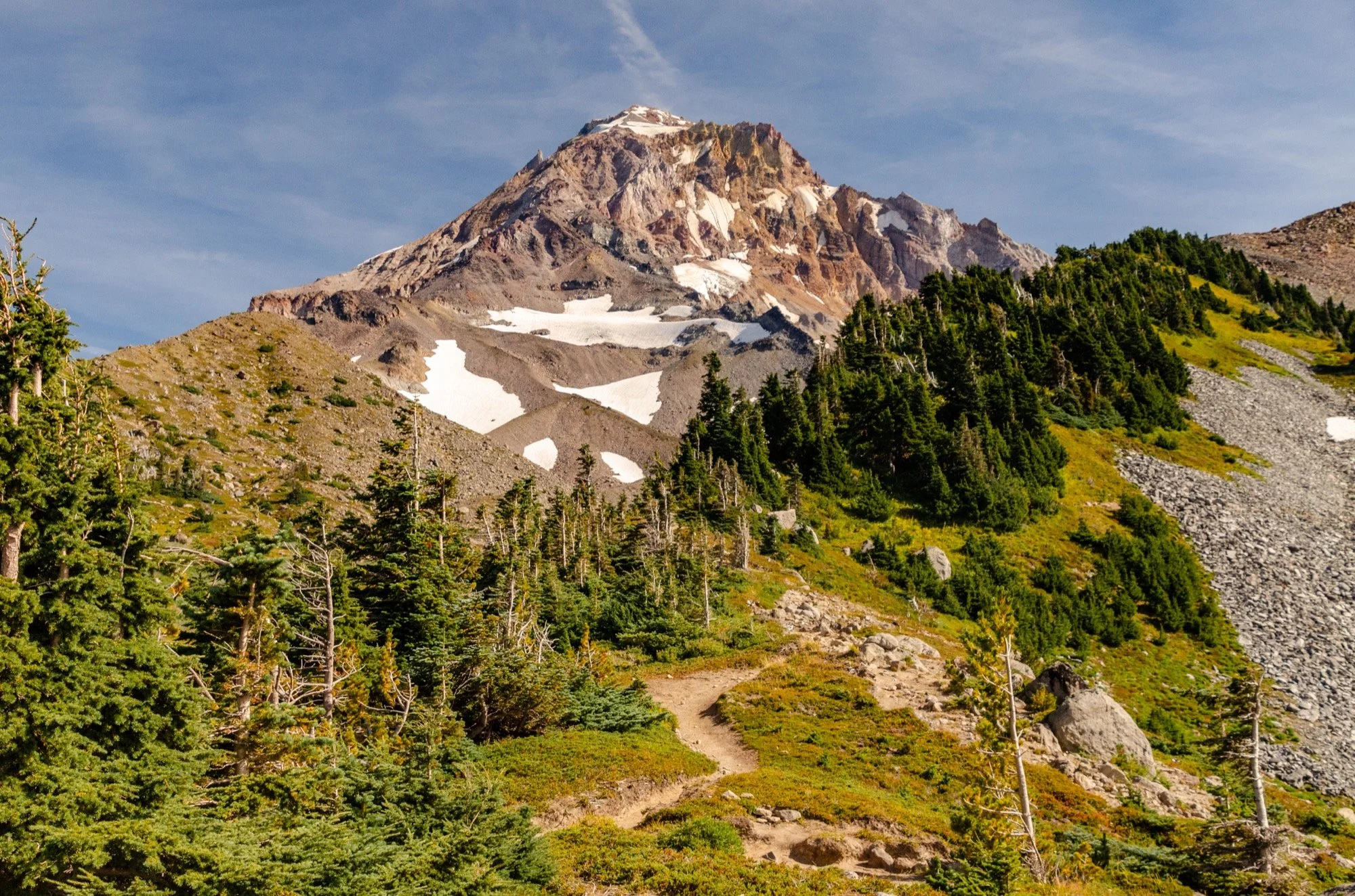
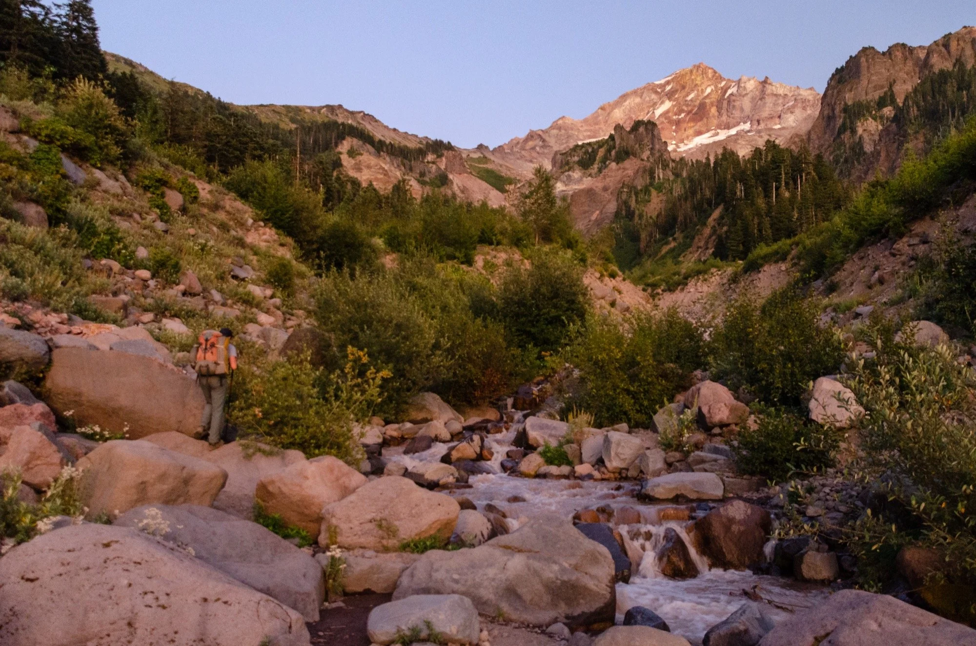
Spectacular stuff in Mt Hood Meadows. Fireweed, asters, western pasque flowers (“Russian boots,” as Matt called them). Jefferson to the south, rising above another smoke plume. Hood directly above us, looking great in the sunshine.
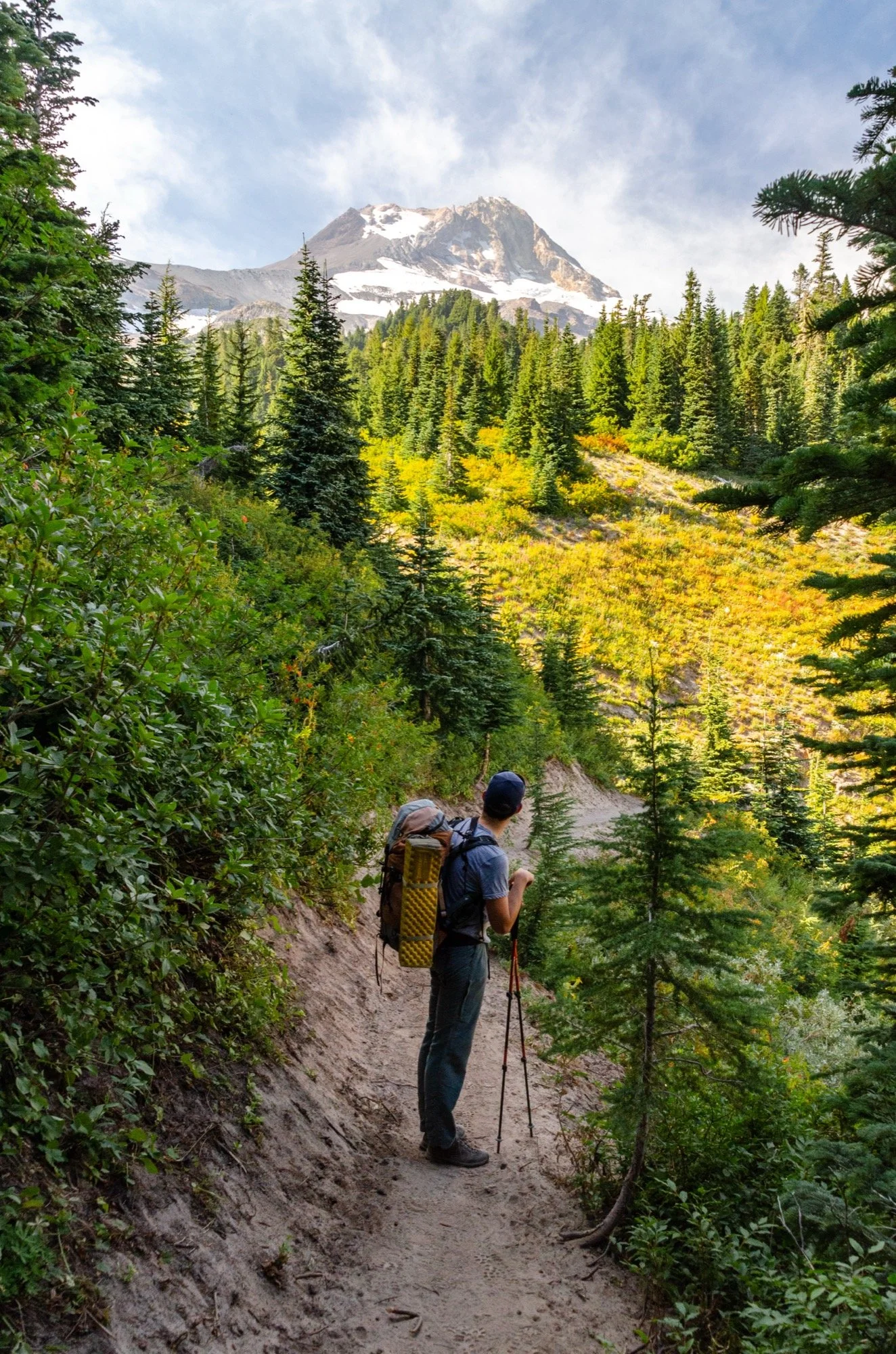
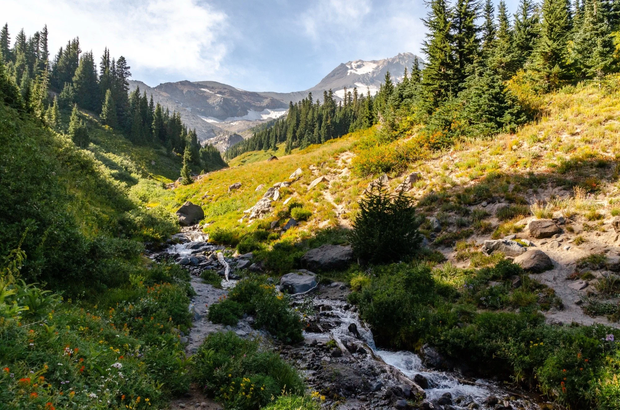
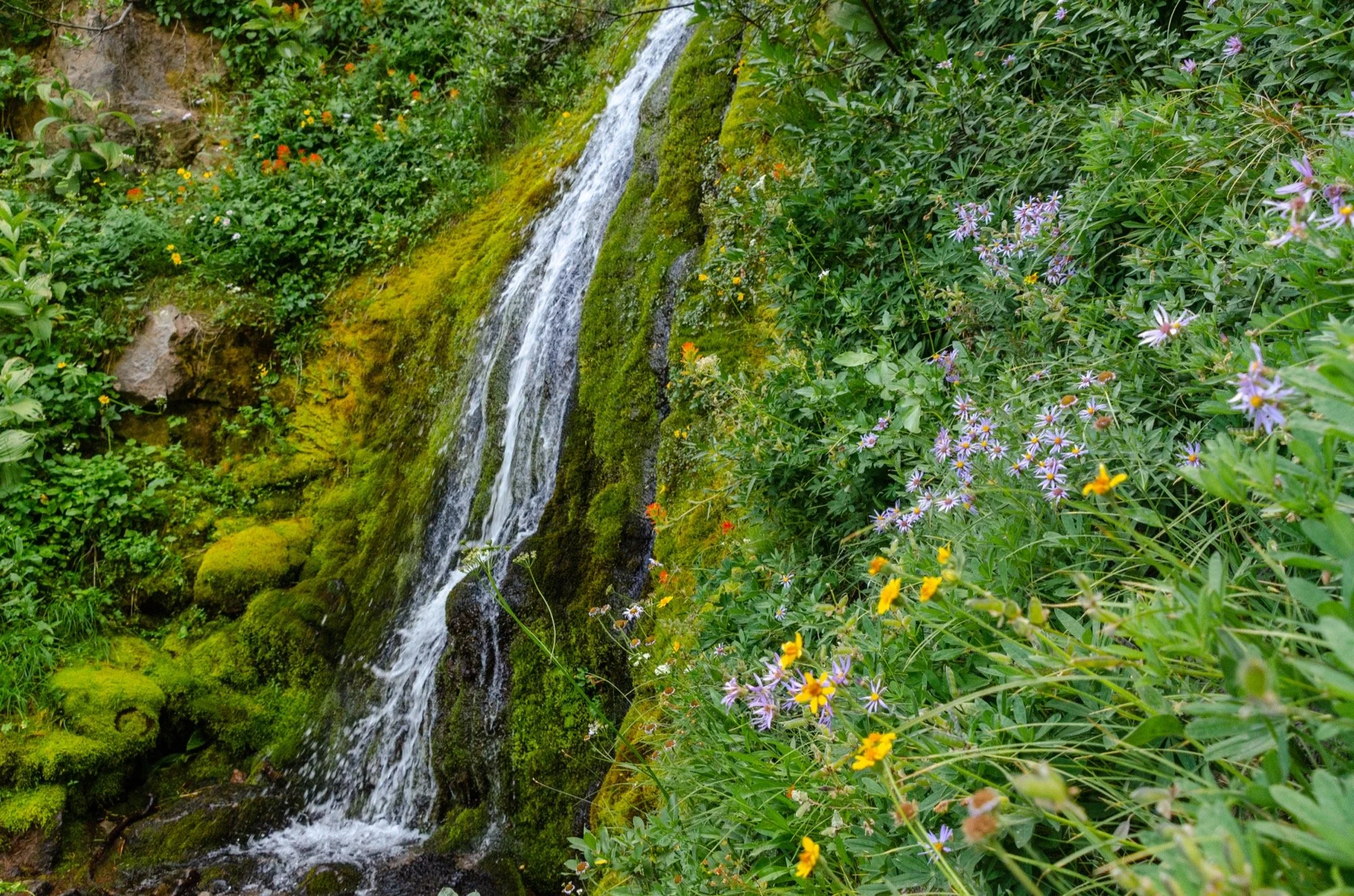

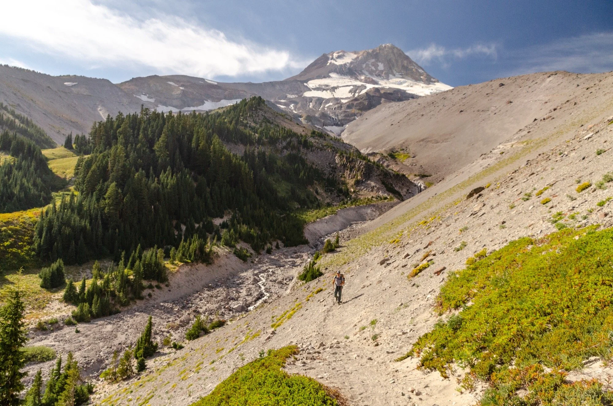
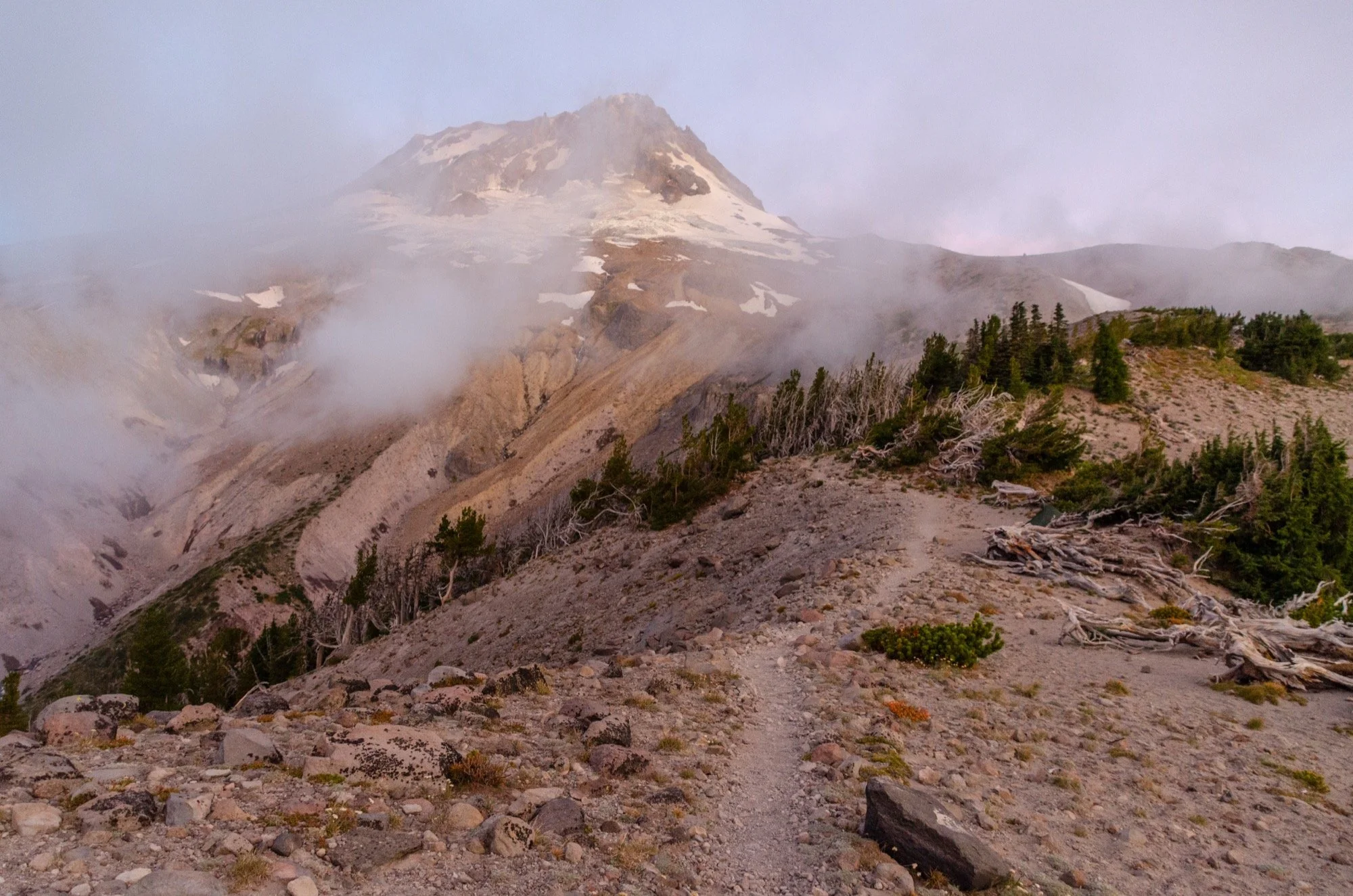
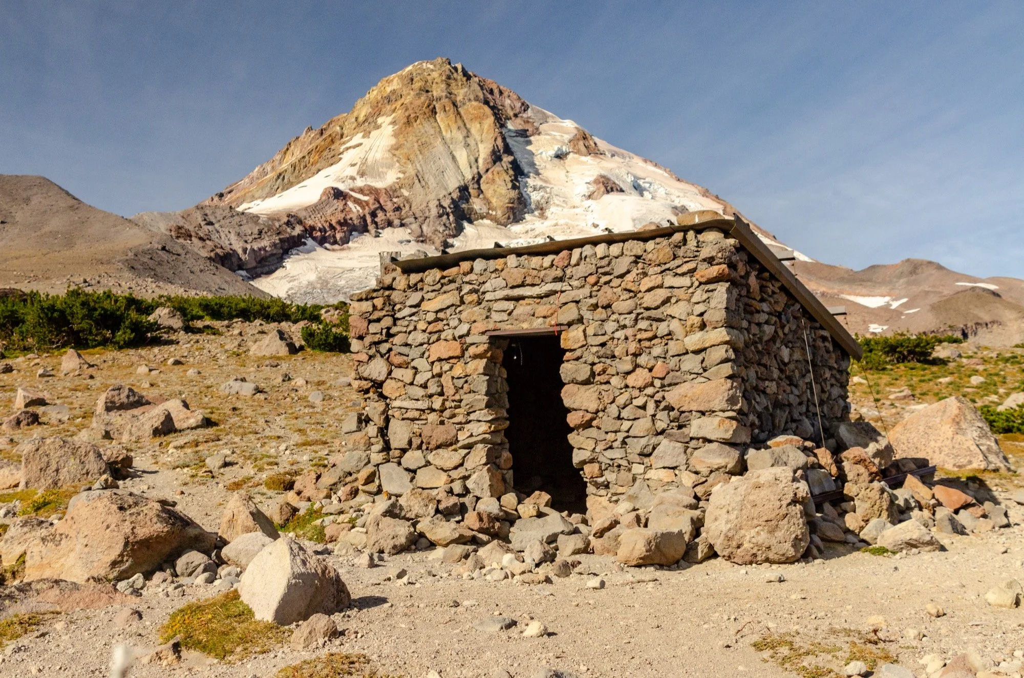
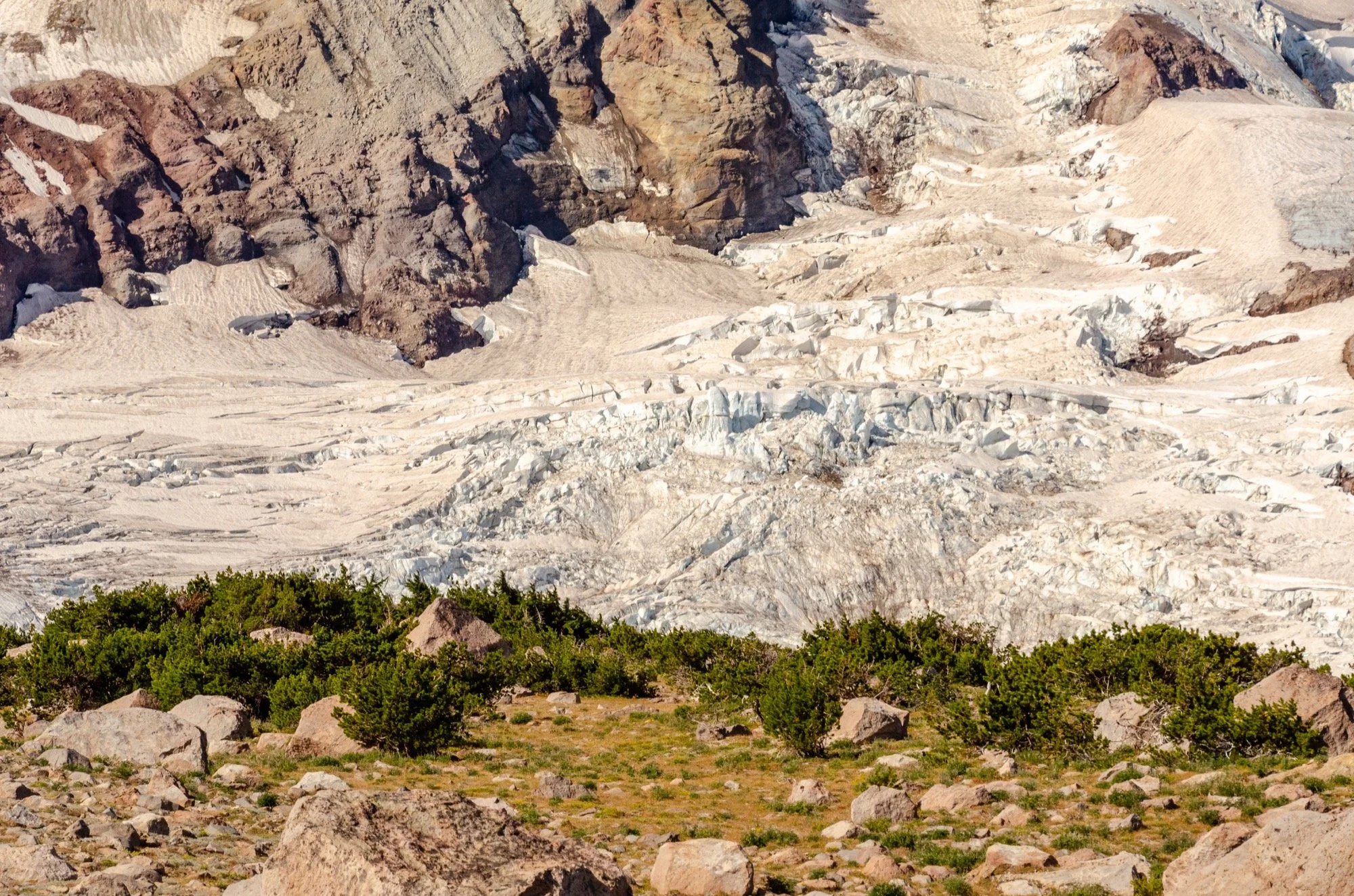
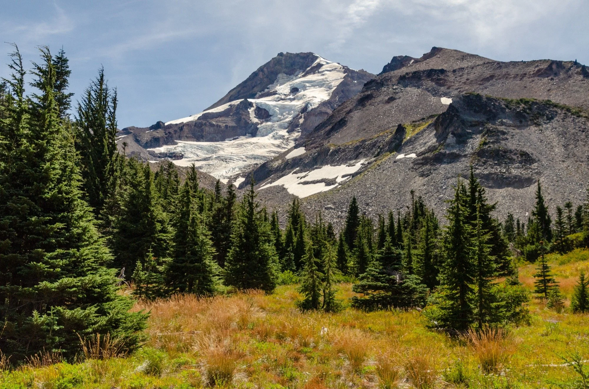
We crossed Clark Creek in the shade, then climbed the moraine back into late afternoon sunlight. This was one of the most idyllic spots on the trail – the glades of conifers, the meadows, the waterfalls, all nestled beneath the glacier hanging high on the mountain above. We still had time to work with before sunset, but we were getting close to the hour where you want to go ahead and find the camp. We climbed through the woods, the trail taking us away from the peak and then back towards it. Eyes peeled for a good place to pitch tents.
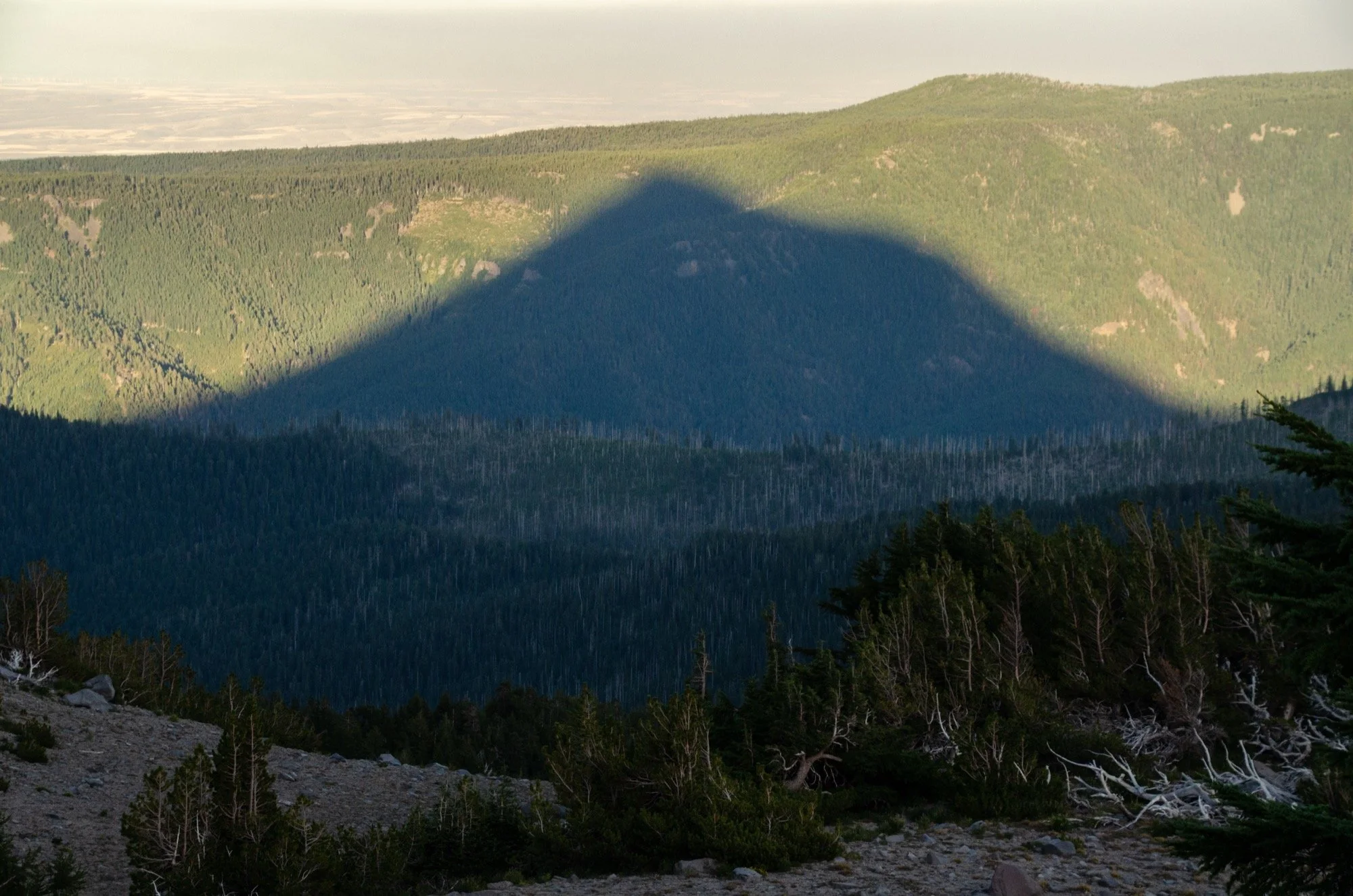
Found a small but lovely spot against some krummholz mountain hemlocks along Gnarl Ridge. Newton Creek’s chorus echoed up from the canyon below, and the sun showed us the outline of the peak as shadows raced across the landscape. Awesome views of Jefferson to the south. Then the wind picked up in the night and blasted my tent with sand, repeatedly un-staking my rain fly. But hey, it was a magnificent place to sleep so poorly.
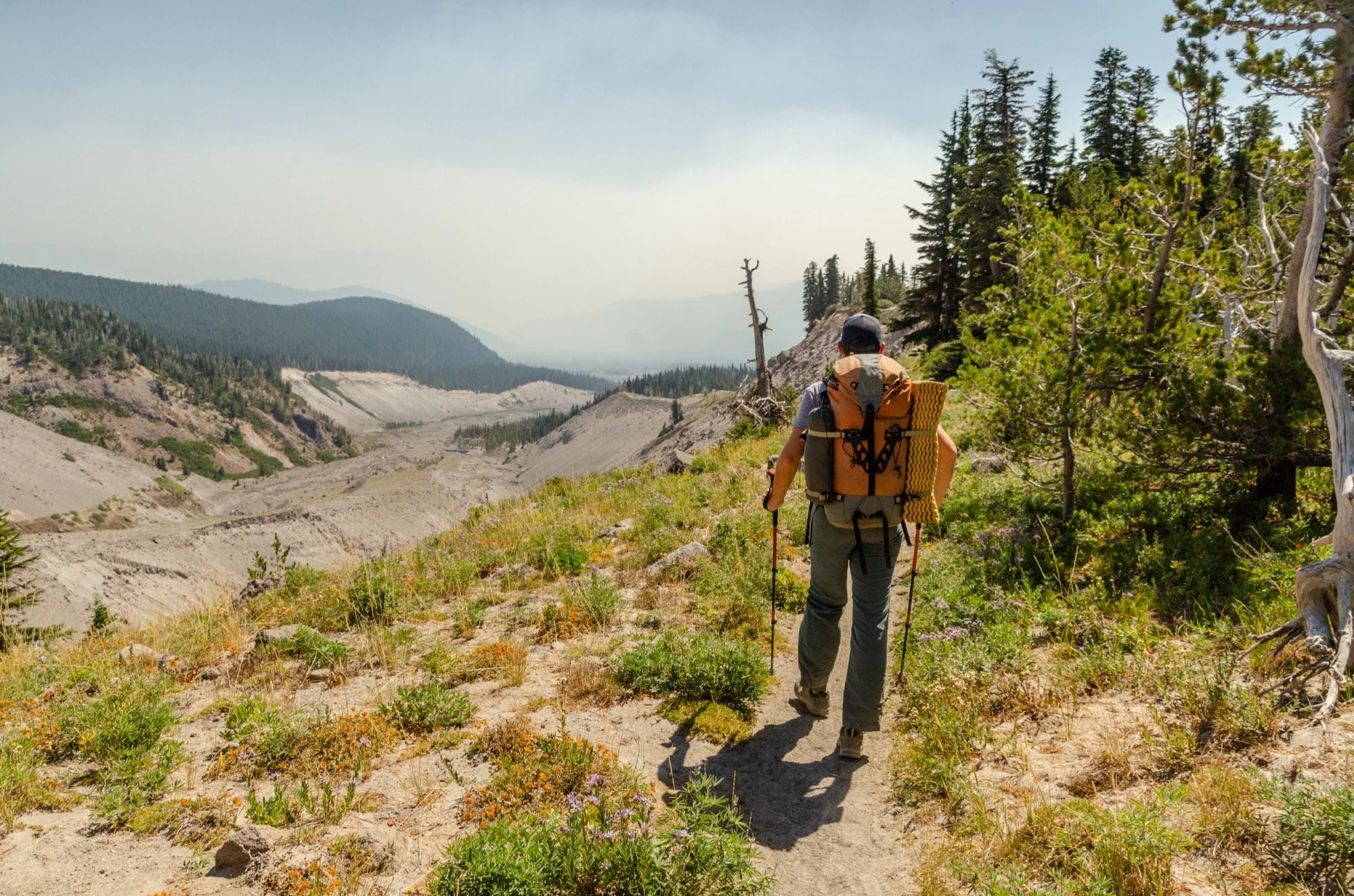
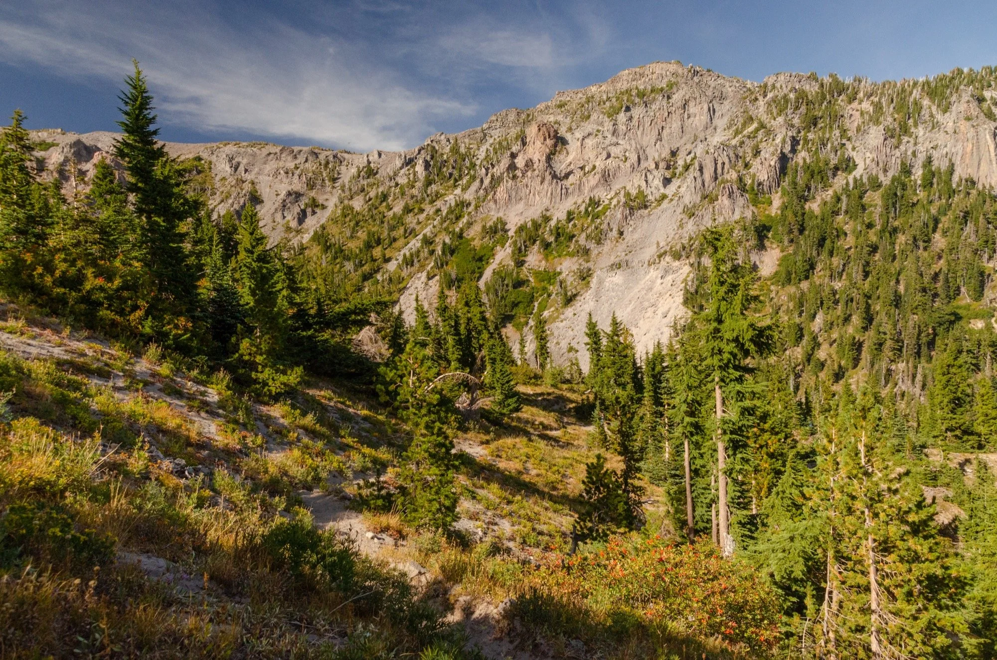
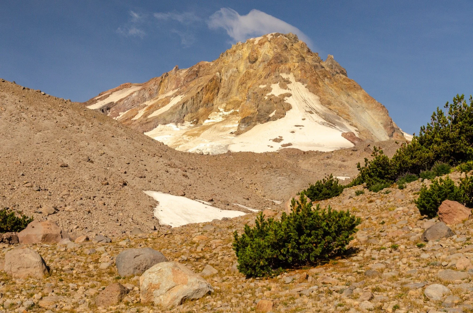
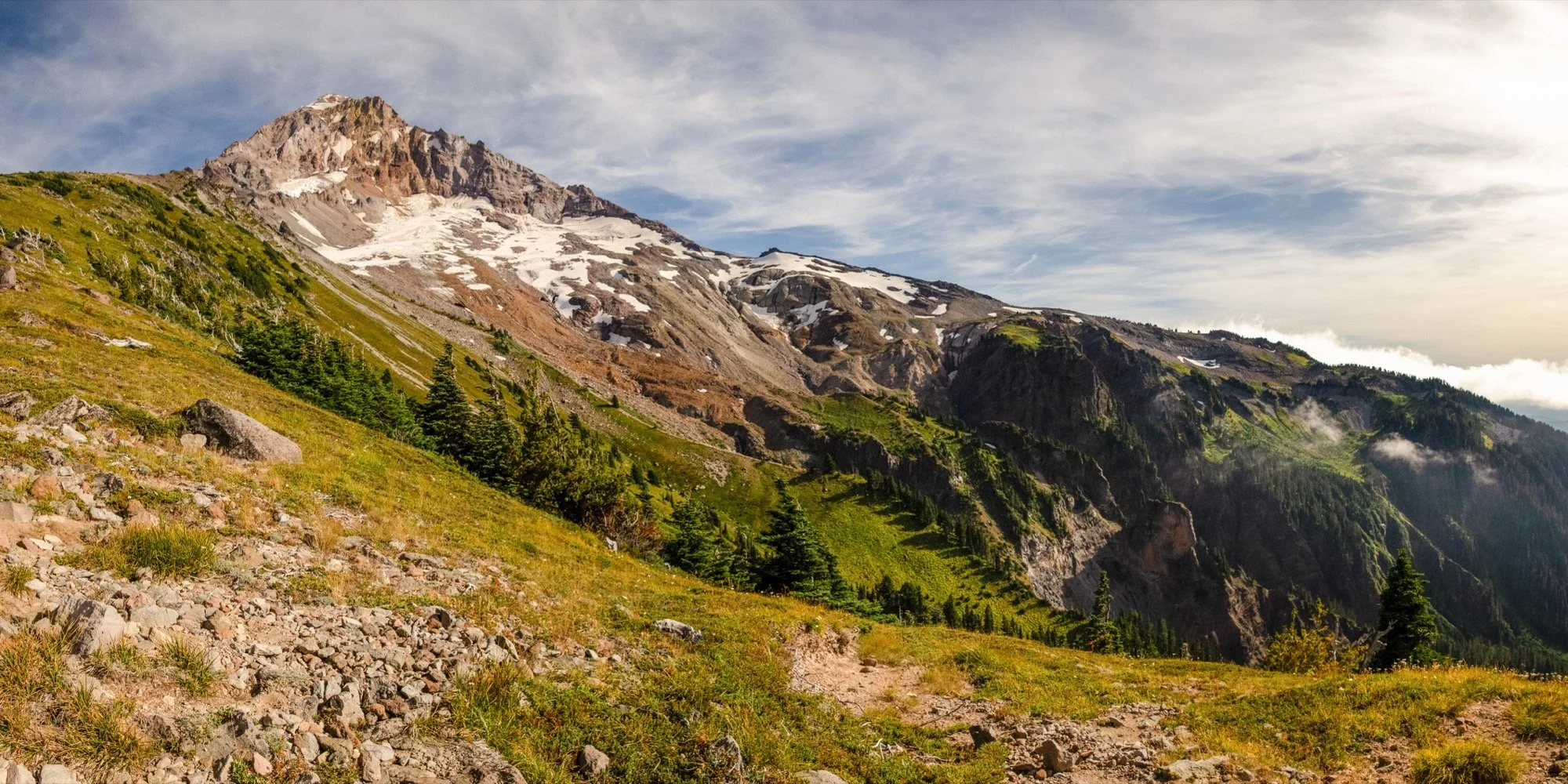
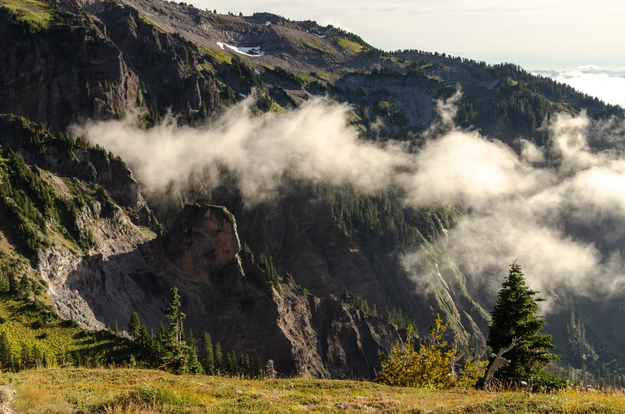
Day two greeted us with clouds hanging loosely over the mountain, but they didn’t last long. We contoured around the eastern slopes, crossing the high point of the trail there in the rainshadow of the summit, looking out to the dry worlds east of the Cascades. Circling Mt Hood takes you through a grand array of ecosystems and microclimates. Each face offers a different scene.
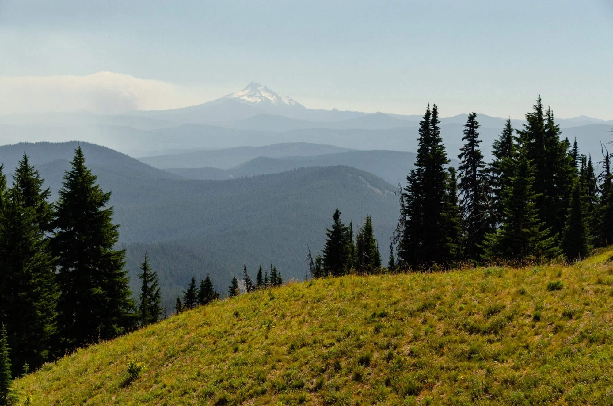
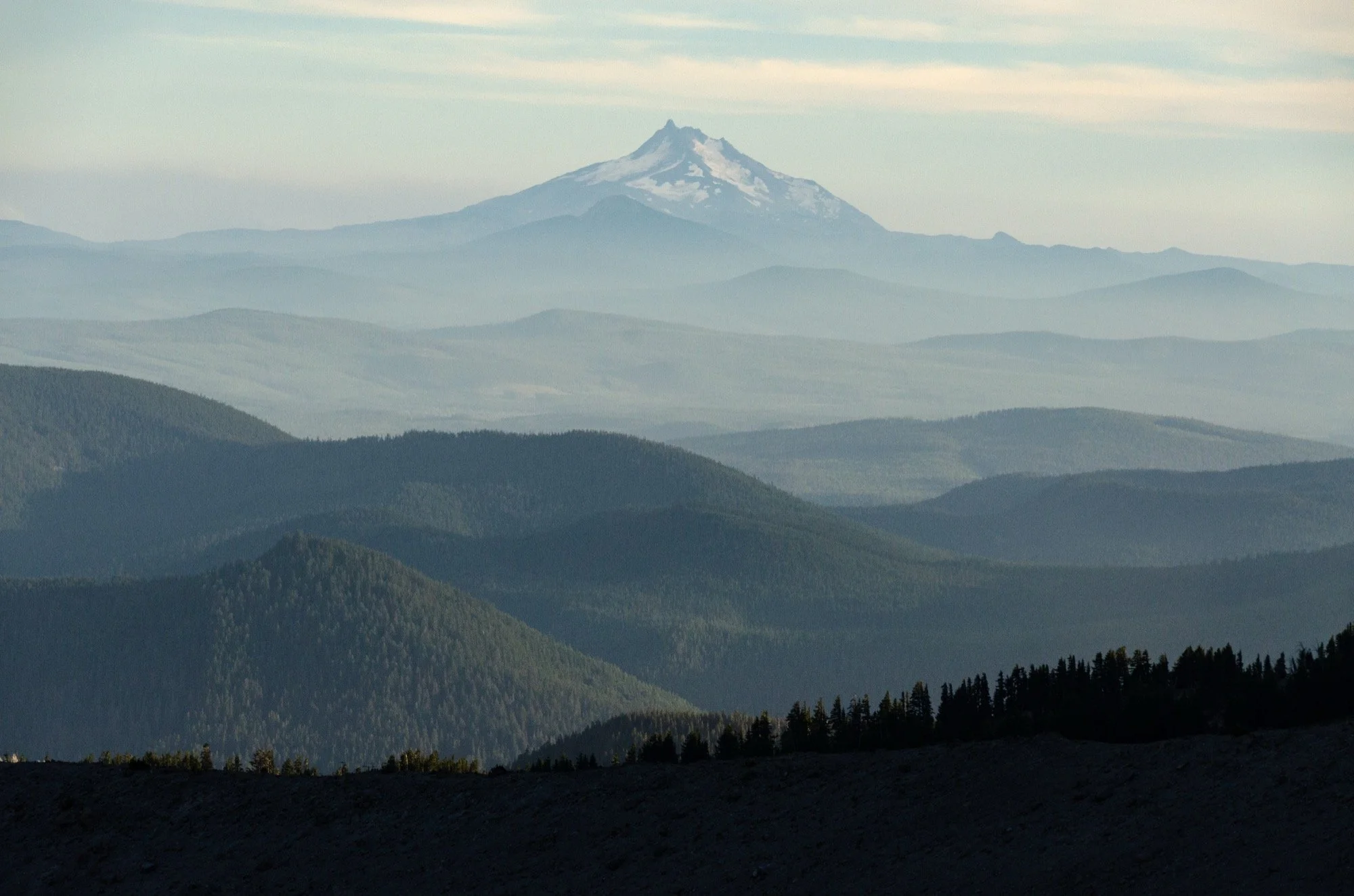
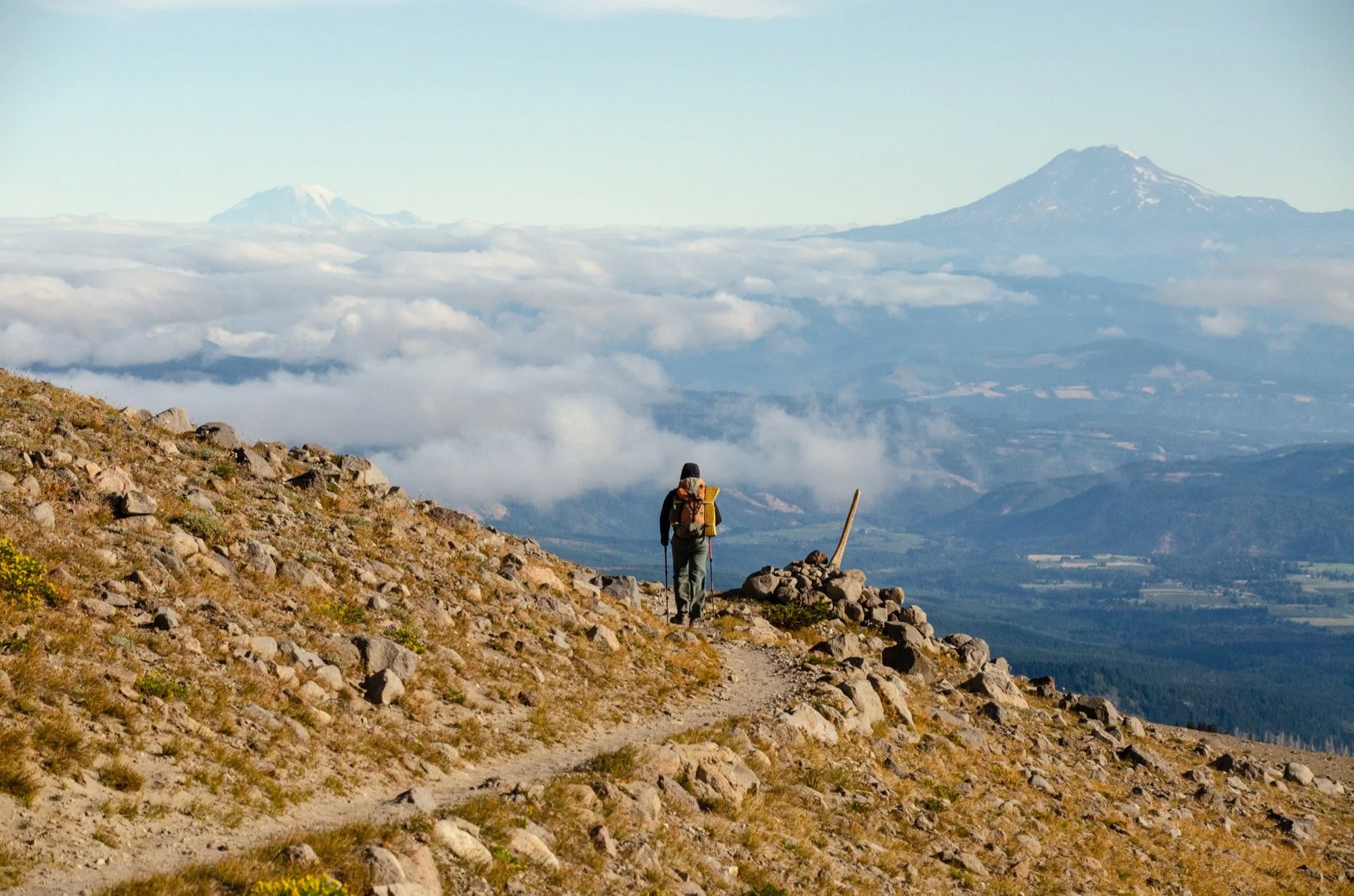
Coming around to the north side of the mountain, we got the best view of the trip. Well, at least the best view away from Hood. Rainier and Adams rose above the clouds on the other side of the Columbia. Tight, jumbled mountain ranges that are full of peaks give you drama and scenery from every high point and in every valley. It’s not always the case in the Cascades, but when you do get a high view beyond your current volcano and can see the hulking behemoths to the north or south? No complaints.
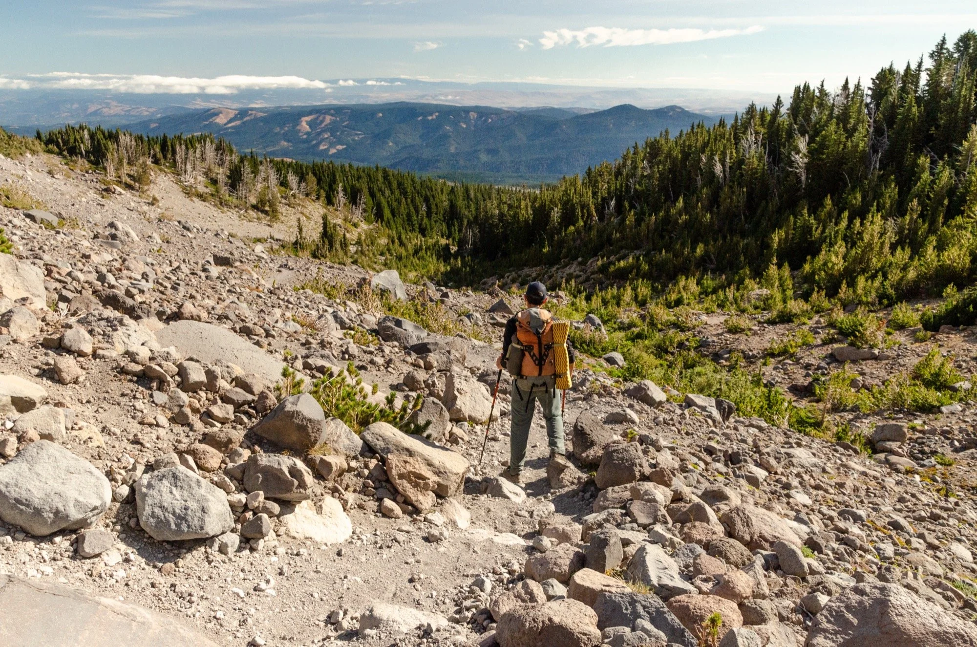
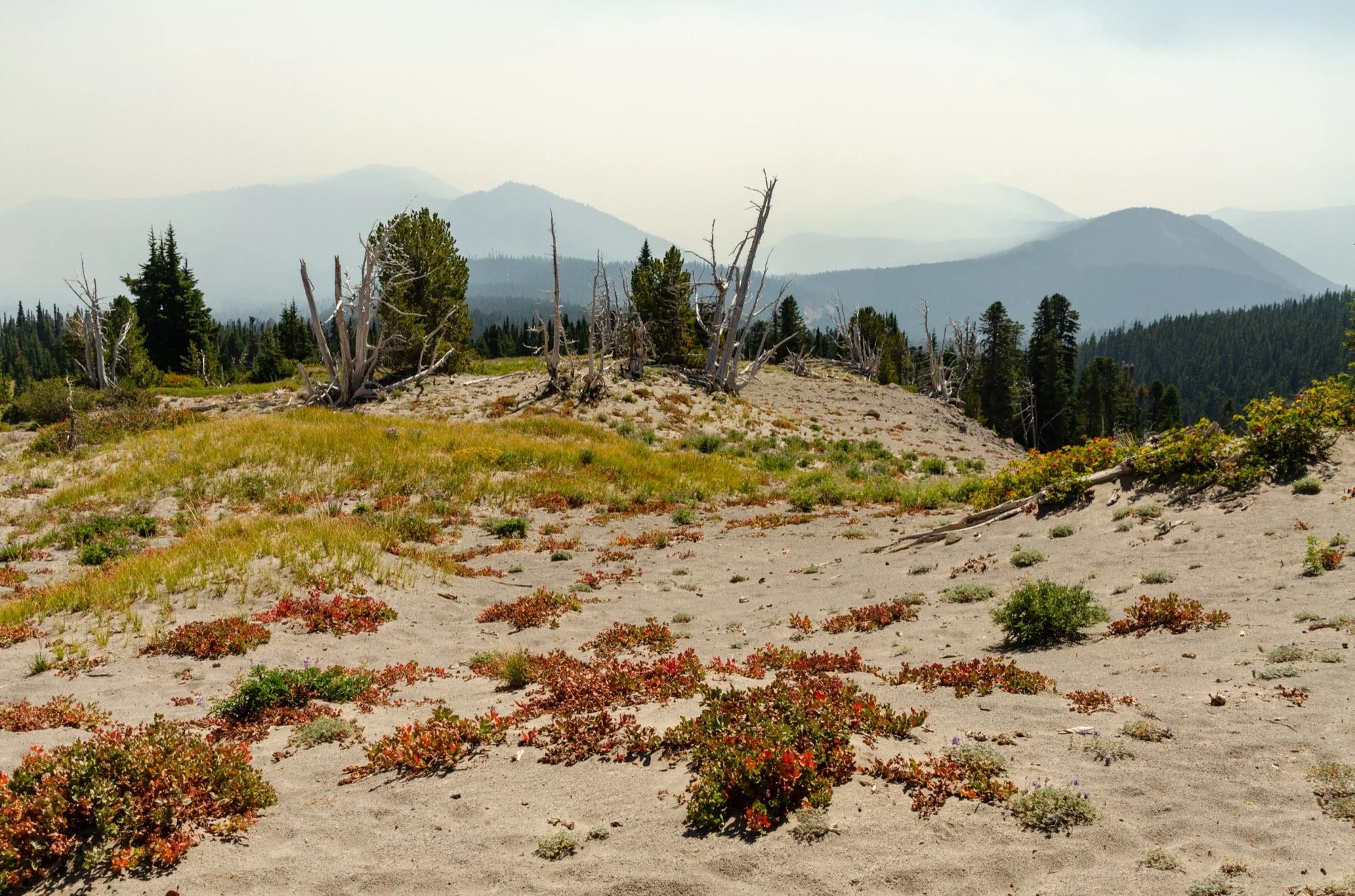
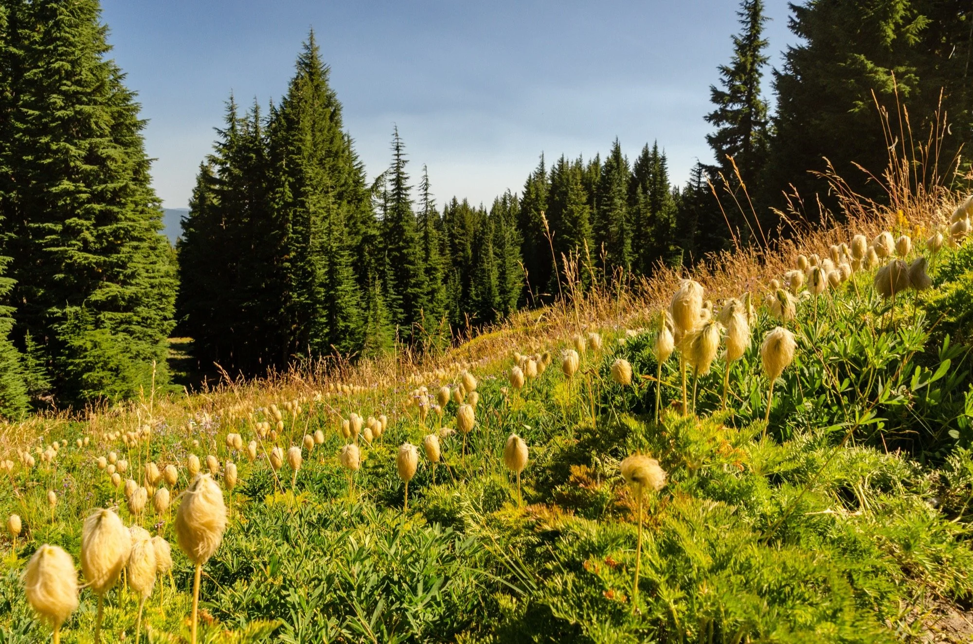
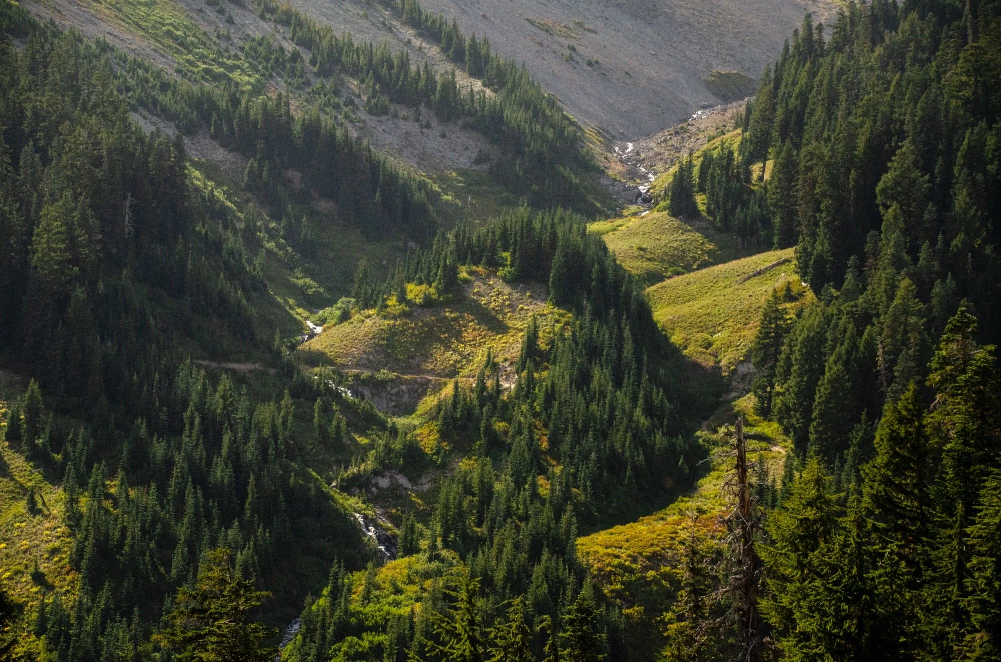
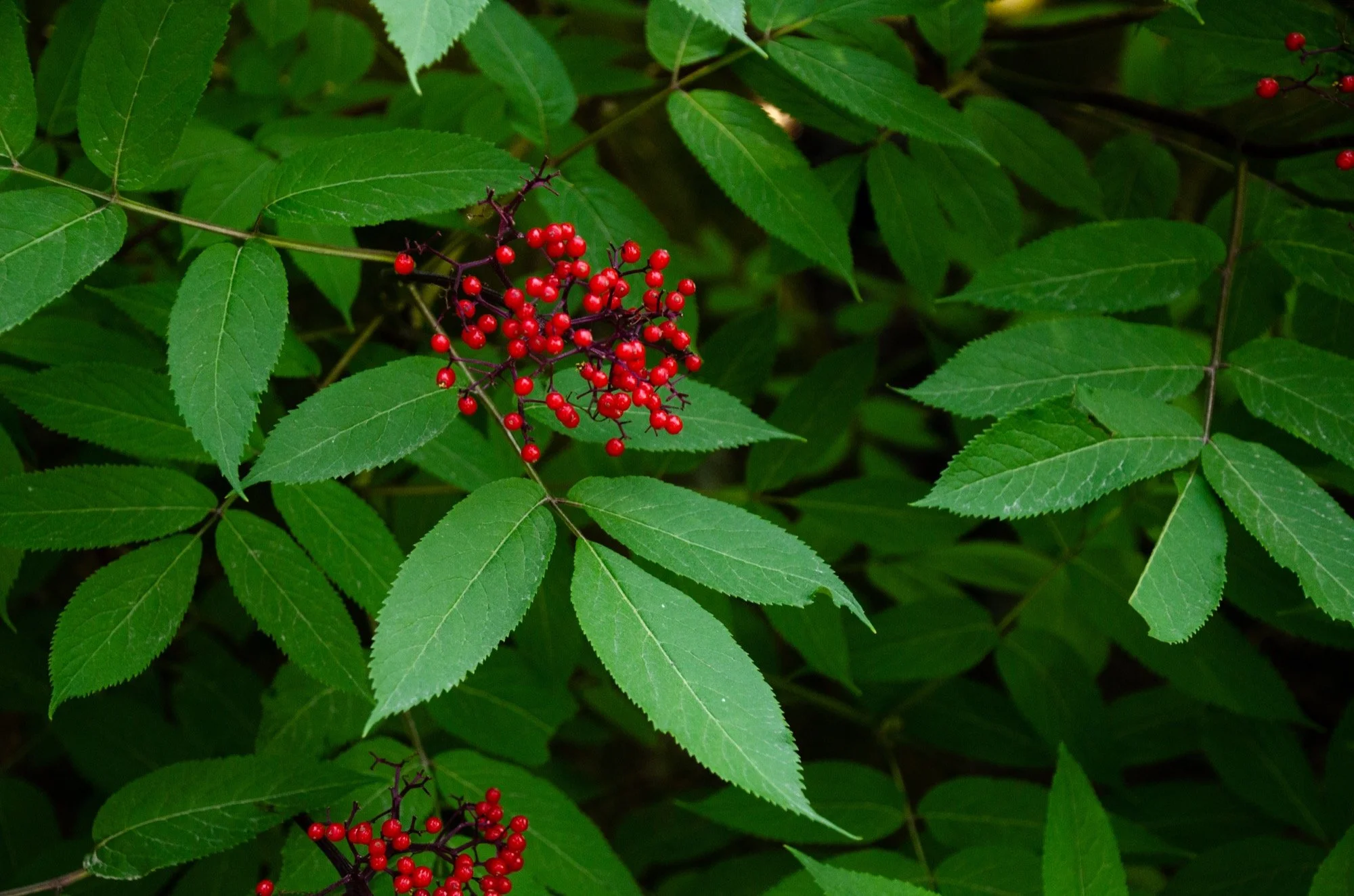
Time to give up some of elevation, about 1,400 feet of vertical descent down to the Eliot Branch. Below tree line now (timberline, if you will), we popped in and out of forests and meadows, shade and sun. Wildflowers still in bloom, berries dangling off of branches. Wonderful hiking.
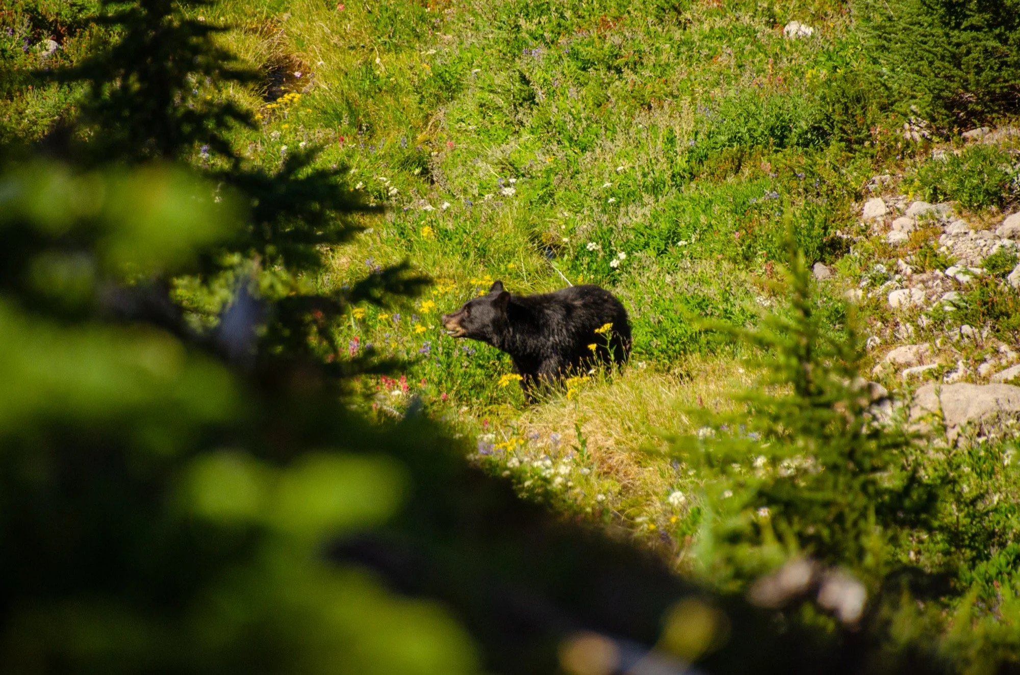
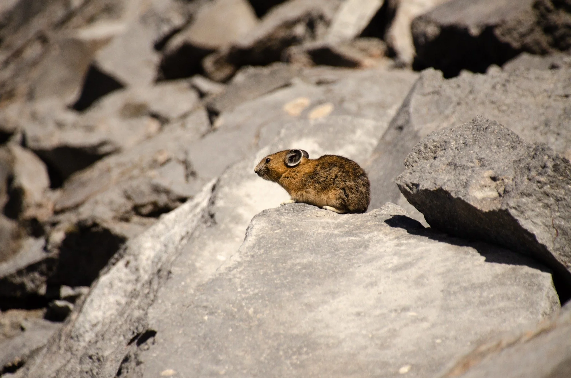
The views from Elk Cove stick with me for some reason. Probably because the vantage points were limited along the north side. The trail keeps you in the trees and below ridges, blocking the summit and its glaciers from view. At Elk Cove, the views came back. Then we saw a bear. Well, Matt saw it and alerted me. I hiked past it, like a fool. It was munching in a meadow below the trail, and I was dreaming of higher ground at McNeil Point.
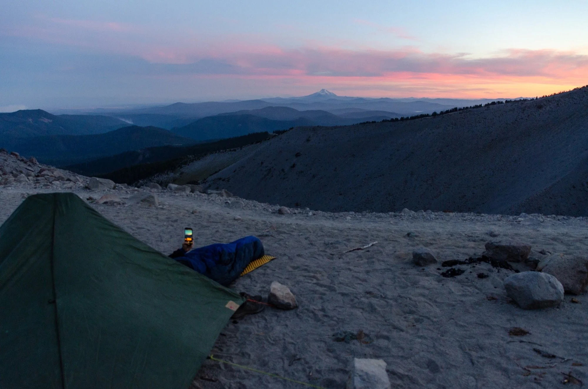
Just what I was hoping for up at McNeil Point. Would have spent the night there if it wouldn’t have made for such a burly final day. Wispy clouds building below us, sun shining above us. Quite the panorama. We lingered as long as we could, though we didn’t really know where we wanted to camp that night.

A long but peaceful post-dinner hike down to the Muddy Fork. The light was fading fast as we crossed the river at dusk. Into the forest on the south side where all of the reasonable campsites were taken. We found a couple of marginal ones beneath towering trees, nestled in a plant community so dramatically different from the morning spent high on the east side of the mountain. Just in time.